09/25/02 GPS_field_guide 8:19 A9/P9
4
1.2 How does GPS work?
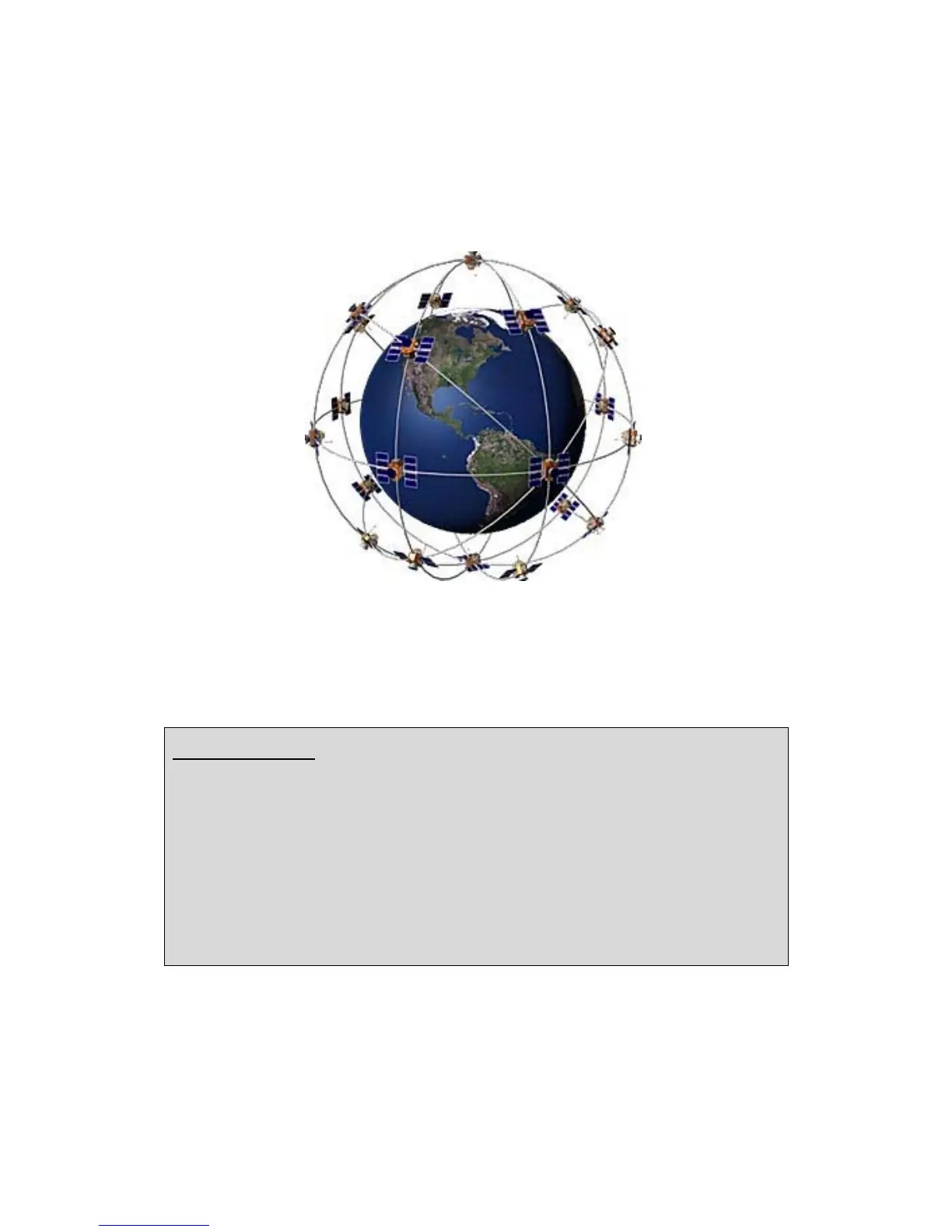
GPS satellites circle the Earth twice a day in a very precise orbit at an altitude of around
19 000 Kilometres (Figure 2). This constellation allows any user to access between five
and eight satellites from any point on the Earth.
Figure 2: The GPS Satellite network
Each satellite transmits radio signal information which is tracked and used by the GPS
receiver to calculate the user's exact location.
The satellite signal:
This constantly transmitted radio signal passes through clouds, glass and plastic but
not through most solid objects such as buildings and mountains.
A GPS signal contains three kinds of coded information essential for determining a
position:
· An I.D. that identifies each of the 24 satellites of the network
· The almanac data that contains the orbital information for all satellites in the system.
· The ephemeris data, which contains important information about the status of the
satellite (healthy or unhealthy), and the current date and time.
To determinate precise latitude and longitude/position, the receiver measures the
travelling time of the signal between the satellites and itself and transform it into a
distance.

 Loading...