Do you have a question about the Garmin GPSMAP 190-01230-10 and is the answer not in the manual?
| Brand | Garmin |
|---|---|
| Model | GPSMAP 190-01230-10 |
| Category | Marine GPS System |
| Language | English |
Lists key features and explains manual conventions for efficient use.
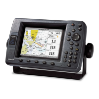
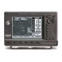
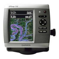
Introduces hardware, powering on, and initial configuration.
Explains backlight adjustment, color modes, and keypad functions.
Covers GPS signal acquisition, simulator mode, and system information access.
Details SD card use and navigation via the Home screen.
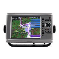
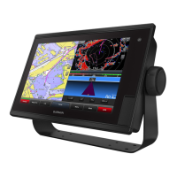
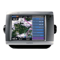
Describes Navigation, 3D views, Split charts, and Chart/Sonar screens.
Covers Fishing, Satellite Imagery, Aerial Photos, Tide/Currents, and POI data.
Guides setting up automatic routes based on chart data and safety parameters.
Search and navigate to waypoints, routes, tracks, and services.
Create, edit, store, and navigate waypoints and routes.
Manage tracks and explore advanced BlueChart g2 Vision charting features.
Connects with compatible Garmin autopilots for automated navigation.
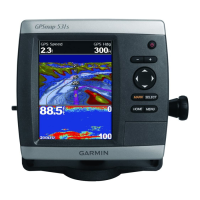
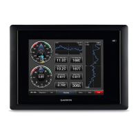
Shows Compass, Numbers, Trip, Engine, and Wind gauge data.
Accesses tide, current, and celestial information.
Manages user data and displays information about other vessels via AIS/DSC.
Adjusts system parameters, units of measure, language, and preferences.
Sets up navigation preferences, route labels, and auto guidance parameters.
Configures communications, NMEA settings, and various audible alarms.
Configures boat specifics like keel offset and settings for other vessels.
Explains screen layouts (full, split) and data logging features.
Covers universal and advanced sonar adjustments for optimal performance.
Details radio connectivity, receiving distress alerts, and VHF integration.
Manages DSC contacts, tracks vessels, and sets up calls.
Outlines procedures for man overboard distress calls and navigation.
Lists physical dimensions, weight, display, receiver, and power details.
Explains on-screen messages and audible alarms for operation and issues.
Covers unit care, cleaning, NMEA 2000 connectivity, and licensing.