1 2
1
Routes
Points
Map
Points
Routes
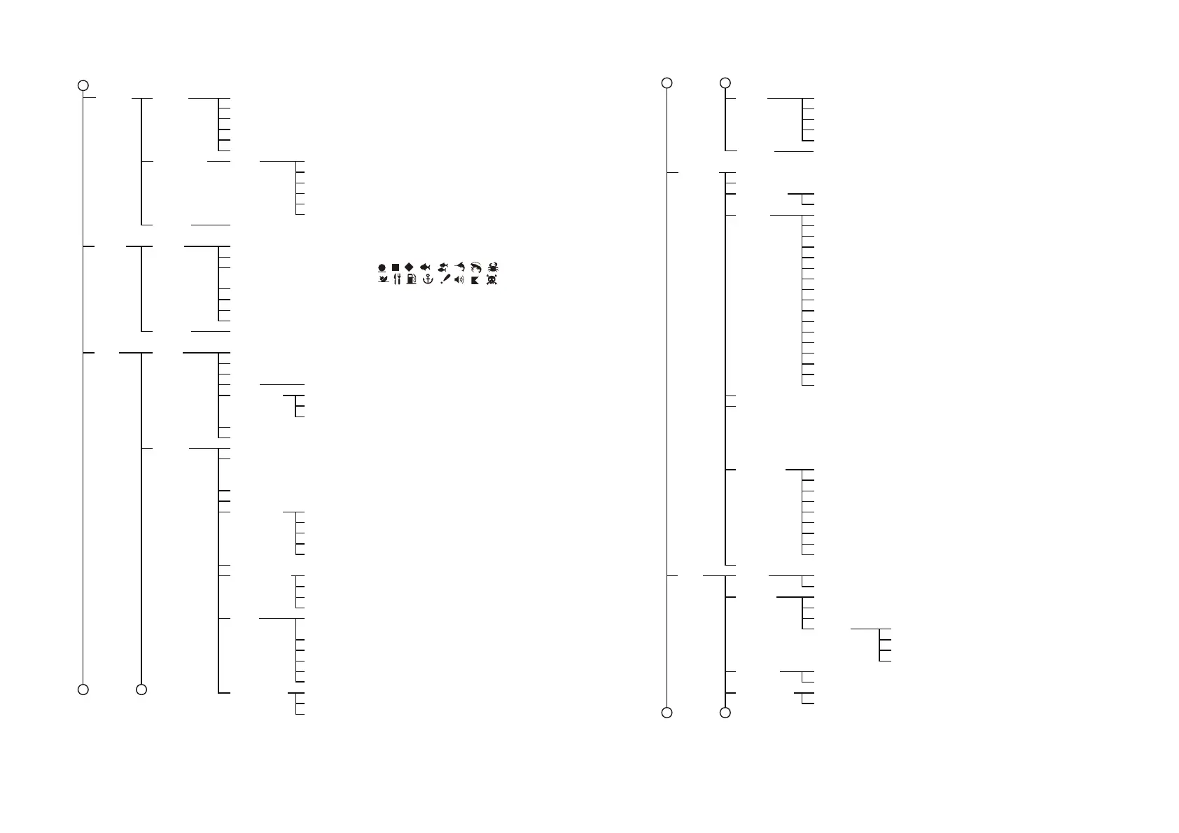
Display Points (Name and Icon, Icon)
Point Size (Small, Standard, Large)
Default Point Symbol (Select from: , , , , , , , ,
, , , , , , , )
Default Point Color (Select a color)
Zero Handling (Zero Padding, Zero Suppress)
QP (Zero Padding, Zero Suppress)
Easy Routing
End Route Notification (ON, OFF)
Safe Margin (ON, OFF)
Respect Draft (ON, OFF)
Show Range Slider (ON, OFF)
Safe
Navigation
Keep Destination (ON, OFF)
Circle Radius (NM) (0.01 to 0.54, default: 0.054)
Depth (ft) (3.3 to 66, default: 7)*
Height (ft) (7 to 164, default: 39)
Width (ft) (66 to 1640, default: 131)
Time Out (1 min, 5 min, 10 min, 20 min)
XTD Value (NM) (0.01 to 0.54, default: 0.054)
Delete All Routes (Select Yes/No from pop up window)
Delete All Points (Select Yes/No from pop up window)
Route Planning Speed (kn)(0.2 to 194.2, default: 5)
Restore
Defaults
Restore Default Settings (Select Yes/No from pop up window)
Restore
Defaults
Restore Default Settings (Select Yes/No from pop up window)
*: Available when
[
Respect
Draft
]
is set to
[
ON
]
.
Chart
Settings
Chart Language (English, others)
Icon Size (Small, Medium, Large)
Place Names Size (Small, Medium, Large)
Zoom
Lat/Lon Grid (ON, OFF)
Boundaries Mode (Full, Auto, Off)
VAD Boundaries (ON, OFF)
Boundaries
and Grids
Chart Color Scheme (Day, Night, Sunlight, Classic, NOAA)
Nav Aids Display (US, International)
Display
Mode
Display Mode (Off, Full, Medium, Low, Custom)
Marine Objects (Tides & Currents, Ports & Services, Seabed Type,
Atention Areas, Compass Distance, Tracks &
Routes, Port Names, Place Names;ON, OFF)
Nav Aids Objects (Off, Icon, Icon + Name)
Land Objects (ON, OFF)
Tracks (ON, OFF)
Marks (ON, OFF)
Waypoints (ON, OFF)
User Objects
Light Sectors (ON, OFF)
Rocks (Icon, Icon + Depth)
Obstructions (Icon, Icon + Depth)
Diffusers (Icon, Icon + Depth)
Wrecks (Icon, Icon + Depth)
Display Limit (ft) (0 to 997.4, default: 32.8)
Underwater
Objects
*: The contents
of the
[
VAD
Objects
]
menu
change
depending on
which services
your chart card
contains. Some
menu items may
not appears on
your menu.
Shading Mode (Normal, Safe, Range Dynamic,
Range Dynamic Invert)
Depth
Settings
Shade Depth Range (ft) (0 to 1000, default: 65.6)
Contours (Off, On, Range)
Soundings (Off, On, Range)
Min Range (ft) (0 to 32801.8)
Min Range (ft) (0 to 32801.8, default: 32.8)
Standard land VAD (ON, OFF)
Standard marine VAD (ON, OFF)
ActiveCaptain VAD (ON, OFF)
High Res Fishing Bathymetry (ON, OFF)
VAD Objects*
Select Output NMEA0183 Sentence (ON: DBT, DPT, GLL, GGA, GNS, MTW, RMC,
VTG, ZDA;
OFF: AAM, APB, BOD, BWR, GSA, GSV, HDG,
HDT, MWV, RMB, RTE, THS, TLL, VHW, WPL,
XTE, Target Information, Target Bottom
Classification Data, Target Fish Length)
1 2
21
Chart
Aspect
Mode
Mode (2D, 3D)
Layer (Vector, Shaded Relief, Satellite, Raster Chart)
Layer Overlay (On Land, On Sea, On All)
3D Exaggeration (Level 1 to Level 5)
Layer Transparency (0% to 100%, default: 50%)
Baud Rate (4800, 38400)
Position & SOG/COG (Internal GPS, NMEA0183, NMEA2000 Auto)
Heading (NMEA0183, NMEA2000 Auto)
Wind (NMEA0183, NMEA2000 Auto)
AIS (NMEA0183, NMEA2000 Auto)
DSC (NMEA0183, NMEA2000 Auto)
Rudder (NMEA0183, NMEA2000 Auto)
Rate of Turn (NMEA0183, NMEA2000 Auto)
Pitch & Roll (NMEA0183, NMEA2000 Auto)
Target Information (NMEA0183, NMEA2000 Auto)
Air Temperature (NMEA2000 Auto)
Humidity (NMEA2000 Auto)
Wind Chill Temperature (NMEA2000 Auto)
Dew-point Temperature (NMEA2000 Auto)
Air Pressure (NMEA2000 Auto)
Water Temperature (Internal FF, NMEA0183, NMEA2000 Auto)
STW (Internal FF, NMEA0183, NMEA2000 Auto)
Depth (Internal FF, NMEA0183, NMEA2000 Auto)
Format (Ver. 2.0, Ver. 3.0, Ver. 4.0, Ver. 4.1)
Restore
Defaults
NMEA0183 Monitor (Display only)
NMEA0183
Setup
Select
Input
Device
NMEA2000 Monitor (Display only)
Select Output NMEA2000 PGN (ON, OFF; Default for 127505 (Fluid Level) is OFF)
Interface
Fish
Finder
Restore Default Settings (Select Yes/No from pop up window)
Depth (ft) (-65.6 to 65.6, default: 0)
Water Temperature (°F) (-36 to 36, default: 0)
Air Temperature (°F) (-36 to 36, default: 0)
Speed Through Water (-50% to 50%, default: 0%)
Wind Speed (-50% to 50%, default: 0%)
Wind Damping (s) (0 to 12, default: 3)
COG & SOG Damping (s) (0 to 12)
Temperature Graph (ON, OFF)
Zoom Marker (ON, OFF)
Color Bar (ON, OFF)
A-Scope Peak Hold (ON, OFF)
Day (White, LightBlue, DarkBlue, Black, Monochrome)
Zero Line Rejection (ON, OFF)
Zero Line Range (ft) (4.6 to 8.2, default: 6.6)
Night (White, LightBlue, DarkBlue, Black, Monochrome)
Echo Colors (8, 16, 64)
Zoom Range Slider (ON, OFF)
Picture Advance (STOP, 1/16, 1/8, 1/4, 1/2, 1/1, 2/1, 4/1)
Display
Heading (-180° to 180°, default: 0°)
Wind Angle (-180° to 180°, default: 0°)
Calibration
Restore Default Settings (Select Yes/No from pop up window)
Color
Schemes
Display
Zero Line
Upper Limit (15% to 75%, default: 70%)
Width (5% to 15%, default: 10%)
Bottom Range
Shift Area

 Loading...