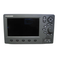
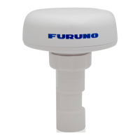
4
• Plotter 1 (own ship's track and data)
• Plotter 2 (own ship's track)
• Highway (ship's track overlaid on
navigation lane)
• Navigation (graphic navigation data
display for steering)
• Data (alphanumeric navigation data)
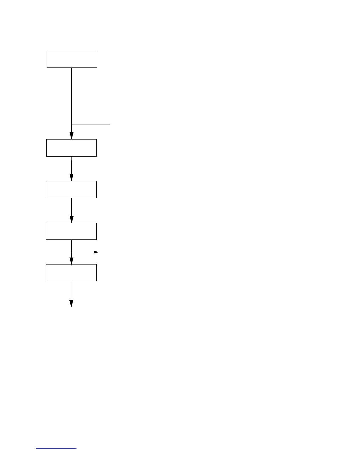
Select display
mode
Set destination temporarily
Set
destination
Display steering data
• By latitude and longitude
• By LOP
Register
waypoints
Register
routes
Set alarms
Perform other operations as required.
(Position correction, geodetic chart to use,
enter smoothing, calculate range and
bearing to a point, etc.)
3. Operation Flow Chart
 Loading...