To access the Interface Setup Page:
On the Setup Menu Page, highlight the
Interface icon, and press ENTER.
Serial Data Format—sets the data format to one of
the following:
• GARMIN
—selects the proprietary format used
to exchange waypoint, route, track log and
MapSource data with a PC.
•
NMEA In/NMEA Out—supports input and
output of standard NMEA 0183 version 3.01
data.
•
TEXT OUT—enables ASCII text output of
location and velocity information. No input.
•
NONE—Provides no interfacing capabilities.
If you select NMEA In/NMEA Out or Text Out,
additional elds then appear. The baud rate for NMEA
In/NMEA Out is locked at 4800. If selecting Text Out
highlight the Baud Rate eld, and press ENTER.
Use the ROCKER to highlight the desired setting and
press ENTER.
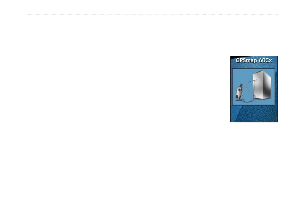
USB Mass Storage—allows the microSD card to be
used as a USB Mass Storage device. It also allows
transfer of Track Log Data to Garmin MapSource.
To activate USB Mass Storage:
1. Connect the unit to a
computer using the USB
cable.
2. Highlight the on-screen
USB Mass Storage
button and press
ENTER.
3. Observe an illustration
of the GPSMAP 60Cx
connected to a computer
and an Unplug or Eject icon shown in your
PC’s system tray or a storage device icon for
the microSD on a Macintosh
®
.
4. Double-click on your PC’s My Computer to
observe a new Removable Disk Drive listed. If
drives are networked, see the note below.
If using a Macintosh, double-click on the icon to
view the directory of les on the microSD card.
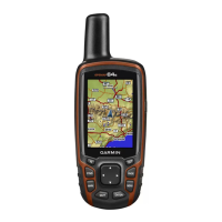
GPSMAP 60Cx Owner’s Manual 57
MAIn Menu > setuP Menu

 Loading...