IntuVueRDR-7000 Weather Radar Pilot's Guide
D201911000094 RDR-7000 Technical Operation
Rev 0, Feb 2020 57
SECTION 6: RDR-7000TECHNICAL OPERATION
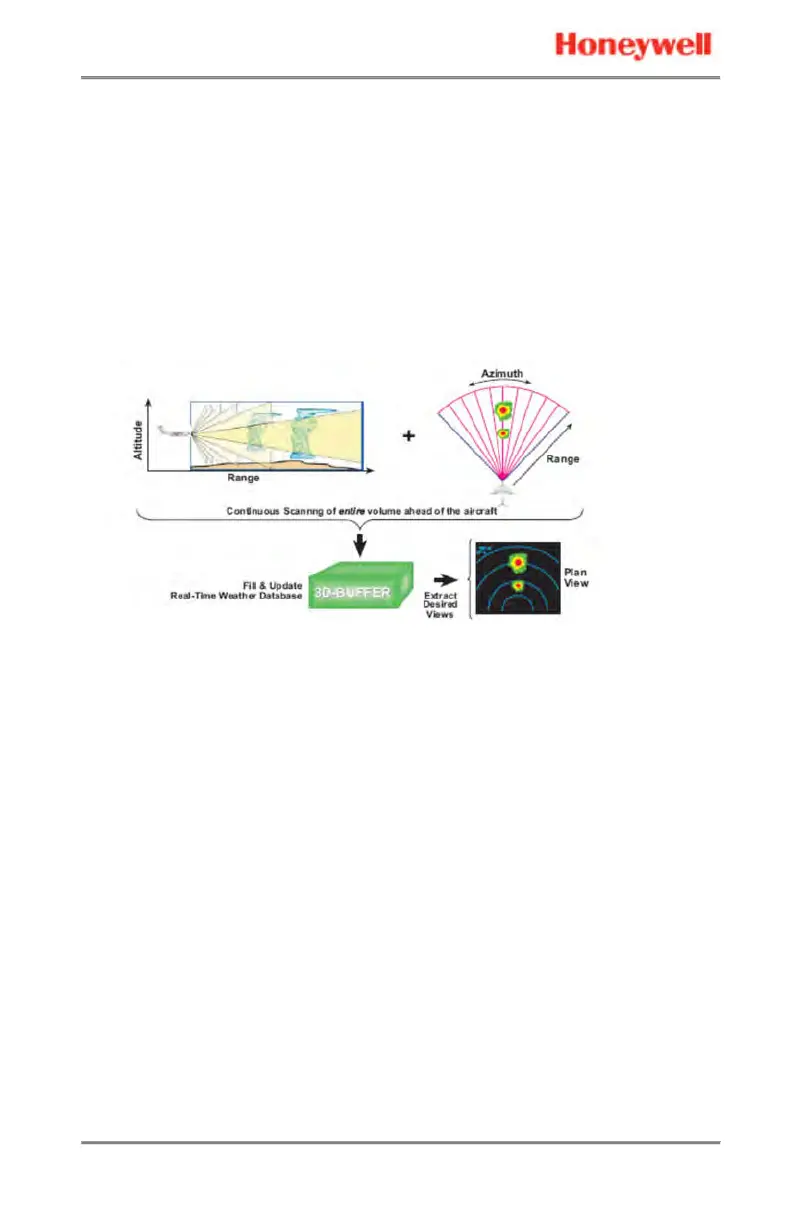
3D VOLUMETRIC MEMORY SCANNING/PROCESSING
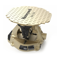
The RDR-7000 collects a complete 3D volumetric scan of all the
weather and terrain ahead of the aircraft. The RDR-7000 contains
internal worldwide topographical information, enabling it to extract
ground clutter without the significant losses associated with signal-
based ground clutter suppression techniques. The data in the
memory is continuously updated and compensated for aircraft
movement.
In conventional radar systems, there is a one-to-one real-time
correspondence between the approximately 4-second side-to-side
movement of the antenna, and the radar image update on the
displays. In such systems, the display update is synchronized to the
antenna tilt angle and sweep. Only the data required for immediate
display is collected and processed. In contrast, the RDR-7000 system
has eliminated this limitation. The mechanical scanning pattern of
the antenna is de-coupled from the weather images shown on the
displays. The radar system continuously scans the entire 3D space in
front of the aircraft and stores all reflectivity data in 3D memory. This
memory is continuously updated with reflectivity data from new
scans and the data is compensated for aircraft movement. This
reflectivity data is extracted from memory to generate the selected
views without having to make (and wait for) view-specific antenna
scans.
Views are not limited to the single diagonal slice that is inherent to
conventional radars. The standard horizontal view provided by the
RDR-7000 represents a weather envelope based on flight path slope,
and corrected for the curvature of the earth. Horizontal views are
generated independently for each side of the cockpit.
 Loading...