Tip!
(optional) If necessary, tap
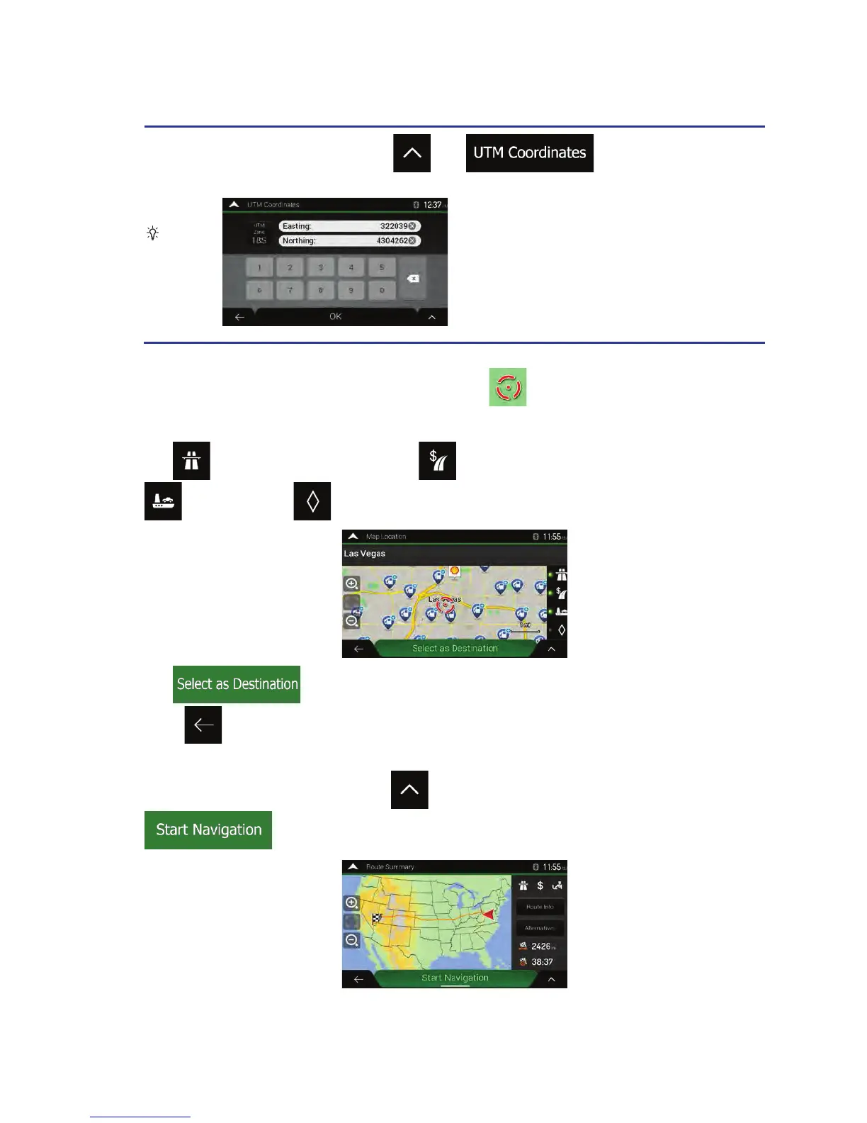
then and enter the coordinate
in UTM format.
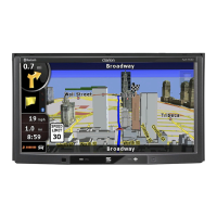
4. A full screen map appears with the selected point in the middle. If necessary, tap the map
somewhere else to modify the destination. The cursor (
) appears at the new location.
5. Check the settings for road types and change them if necessary.
Tap
to enable or avoid freeways, tap for roads with Period Charge or Per-use Toll, tap
for ferries, or tap for carpool lanes.
6. Tap to confirm the destination. You can also select a nearby point on the map
or tap
to select a different destination.
7. The route is calculated and the map appears showing the entire route, where you can check route
information and route alternatives. Tap
to modify the route parameters, or tap
to start your journey.
Clarion NX405 English 49
 Loading...