 Loading...
Do you have a question about the Garmin eTrex HC series and is the answer not in the manual?
| Resolution | 176 x 220 pixels |
|---|---|
| Battery Type | 2 AA batteries (not included) |
| Battery Life | Up to 25 hours |
| Water Rating | IPX7 |
| High-Sensitivity Receiver | Yes |
| Interface | USB |
| Compass | No |
| Barometric Altimeter | No |
| Display Type | TFT |
| Track Log | 10, 000 points |
| Basemap | Worldwide basemap |
Instructions for installing AA batteries and the lanyard for the eTrex device.
Explains basic terms and manual conventions for operating the eTrex device.
Details the purpose and operation of each physical key on the eTrex device.
How to turn the eTrex on/off, adjust backlight, and initialize the GPS receiver.
Explains the status bar display and using the device's mapping databases.
Steps for installing and transferring map data to a microSD card.
Overview of creating, storing, and using waypoints on the eTrex.
How to mark the current GPS position as a new waypoint.
Method to create waypoints by selecting items on the map page.
Instructions for modifying existing waypoints, including name and symbol.
Defining proximity alarms and searching for map items using the Find Menu.
Locating items by name and accessing a list of recently searched items.
Displays detailed information about a selected find item with options.
How to search for and navigate to waypoints and geocache points.
Locating cities and finding nearby interstate exits and associated services.
Steps to find a specific address or intersection using map data.
Locating points of interest and recording travel paths using the track log.
Configures track recording and options to save track logs to memory.
Viewing elevation profiles and creating a sequence of waypoints for navigation.
Enables automatic route calculation and modifying existing routes.
Accesses settings and features not found on main pages.
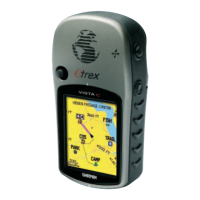
Displays GPS status and detailed maps of the surrounding area.
Integrates map details and adjusts map scale for better viewing.
Customizes map display settings like orientation and data fields.
Provides directional guidance using a graphic compass display.
Explains compass function, activation, and customization options.
Navigates to a sighted object using the electronic compass.
Explains bearing and course pointers for destination guidance.
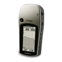
Displays elevation and pressure profiles and their configuration.
Sets zoom levels for plots and resets device data fields.
Shows various navigation data like trip odometer, time, and speed.
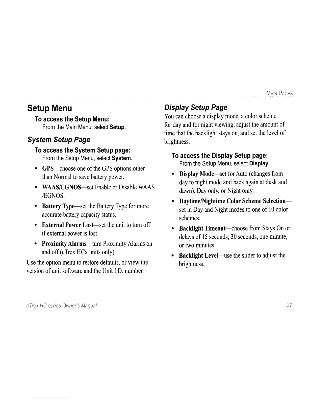
Configures system, display, interface, map, and routing settings.
Configures time format, units of measurement, and heading display.
Configures altimeter, welcome message, and jumpmaster features.
Accesses calendar, calculator, stopwatch, sun/moon, hunt/fish, and games.
Lists detailed physical and performance specifications of the eTrex HC series.
Instructions for connecting the eTrex to a PC via USB for data transfer.
Details the software license agreement and declaration of conformity.