2.3.10 3D object types
NX405 supports the following 3D object types:
NX405 displays 3D hills and mountains in the Navigation view, and illustrates them by
coloring and shading on the 2D map.
Eleva
ted roads are complex intersections and vertically isolated roads (such as
overpasses or bridges) displayed in 3D.
3D landmarks Landmarks are 3D representations of prominent or well-known objects.
3D buildings are block representations of fu
ll town building data containing actual
building sizes and positions on the map.
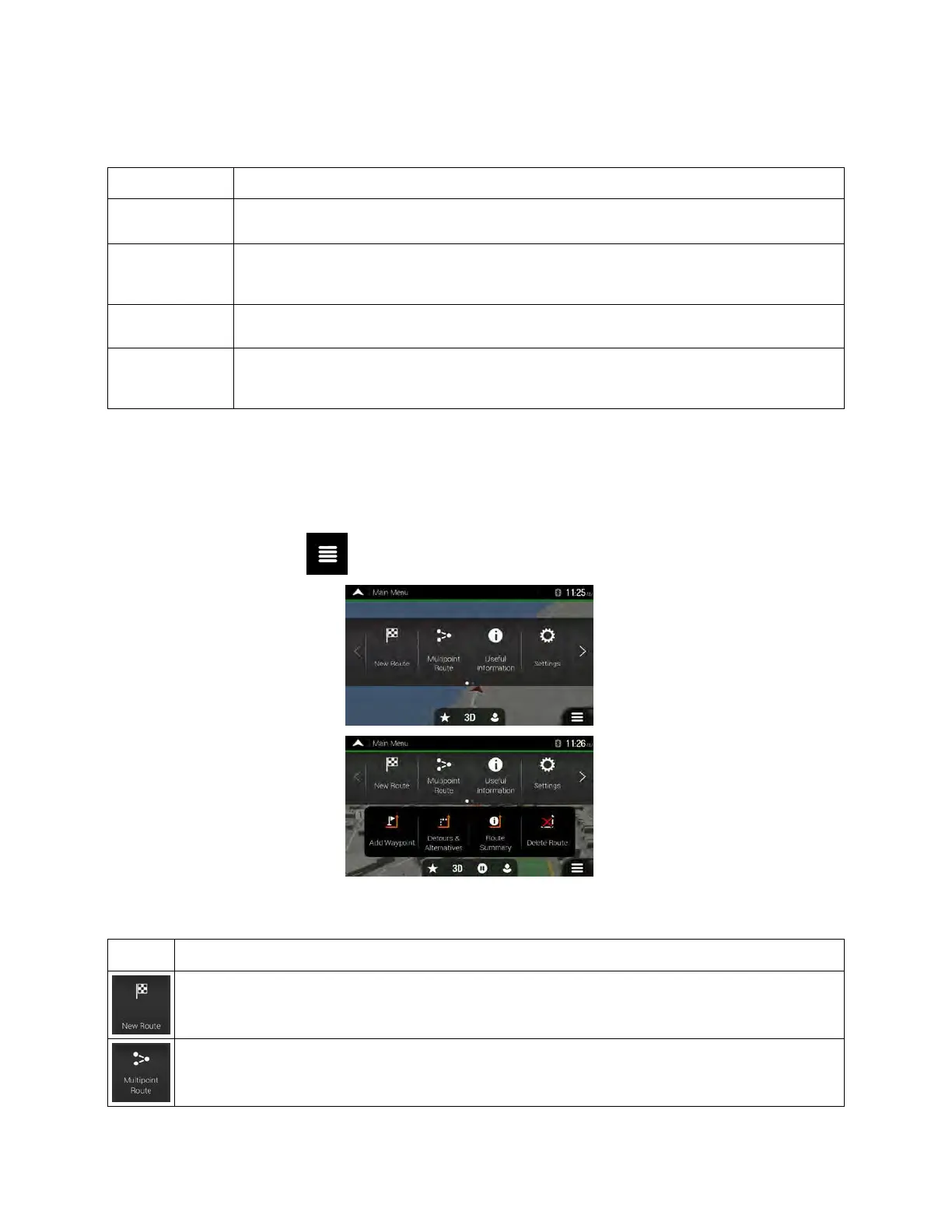
2.4 Navigation menu
On the Navigation view, tap to open the Navigation menu.
You can see the following menu options when you are navigating without a planned route:
Select your destination by entering an address or its coordinate, or by selecting a Place, a
Saved Location, or a Saved Route. You can also look up your recent destinations from the
History.
Build your route from one or more route points. You can also plan a route independently of your
current GPS position by setting a new starting point.
Clarion NX405 English 21
 Loading...