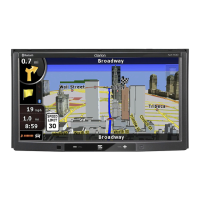
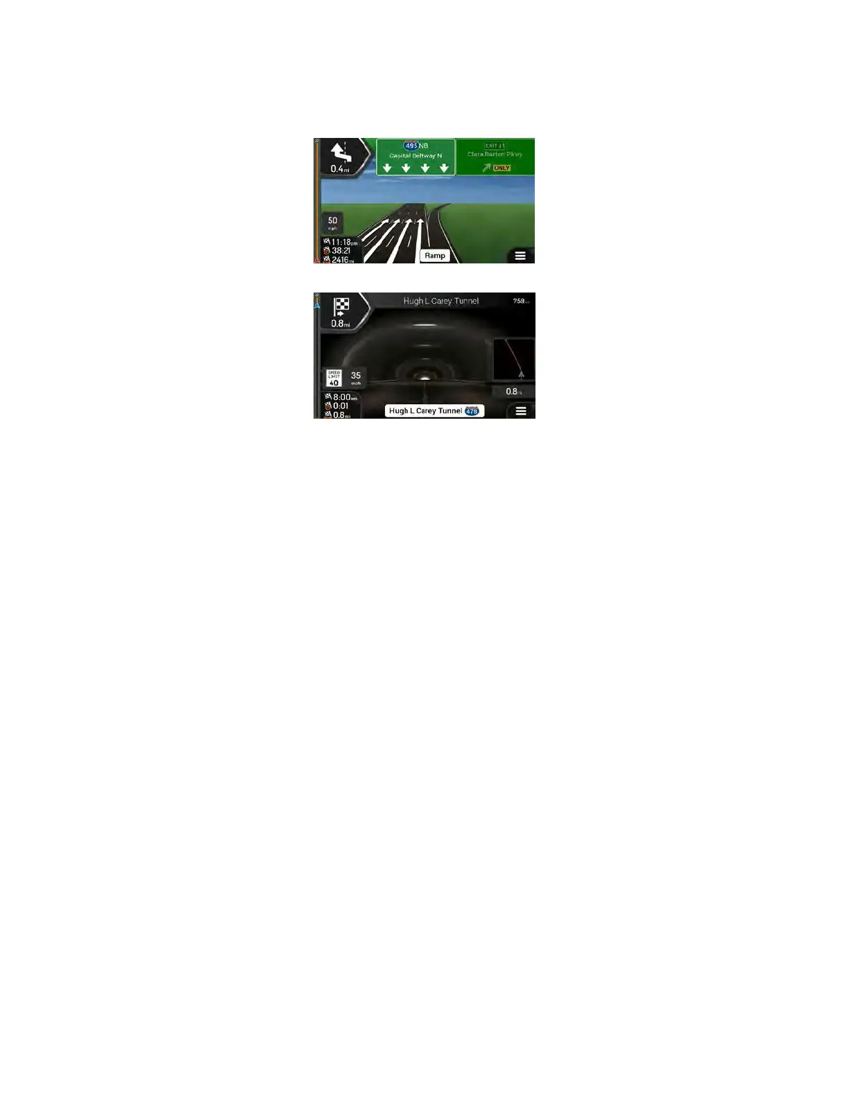
If you are approaching a freeway exit or a complex intersection and the needed information exists, the
map is replaced with a 3D view of the junction. See page 19.
When entering a tunnel, the map is replaced with a generic tunnel image. See page 20.
2.3.1 Streets and roads
NX405 shows the streets similarly to paper road maps. Their width and colors correspond to their
importance; you can easily tell a freeway from a small street.
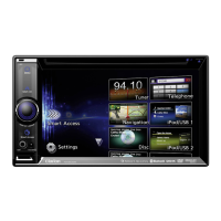
2.3.2 GPS position markers
When your GPS position is available, NX405 marks your current position. By default, this marker is a blue
arrow. The dot near the arrow shows the GPS position as perceived by the GPS receiver.
When on-road navigation is selected, the current position marker may not show your exact GPS position
and heading. If roads are near, it is aligned to the nearest road to eliminate GPS position errors, and the
direction of the icon is aligned to the direction of the road.
If you select off-road navigation, the current position marker is at your exact GPS position. The direction
of the icon shows your current heading.
16 Clarion NX405 English
 Loading...