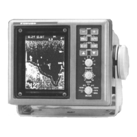
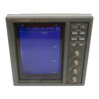
2-4
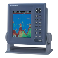
NAV mode
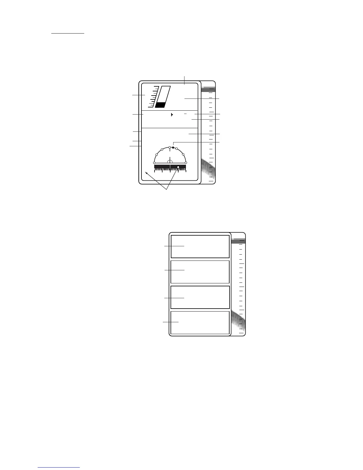
This mode shows navigation data digitally or graphically. The nav display to use can be selected
on the system menu [1] with NAV.
0
20
40
60
80
50
0
40
30
20
10
TRIP NM
123.0
SPEED
10.6 KT
DEPTH
151ft
( : 19 25)
TEMP
84.7˚F
WPT: FOX1 35˚23.19'N
122˚46.90'E
CSE: 120˚
BRG: 135˚
RNG
100.5NM
1 0.5
0
0.5
1
XTE
0.5 S
NM
Trip Distance*
Speedometer*
Speed*
Depth
Alarm Range
Water Temperature*
Ship's Position*
Bearing to Waypoint
relative to ship's course*
Cross-Track Error*
(Shows amount and direction
to steer to return to course.
The example shows you should
steer 0.5 nm starboard to return to course.)
Waypoint*
Bearing
to Waypoint*
Course*
* Requires appropriate sensor.
0
20
40
60
80
35
°
23. 19'N
122
°
46. 90'E
151ft
84.7 ˚F
10.6kt
Depth
Water Temperature*
Speed*
Position*
* Requires appropriate sensor.
 Loading...