10-4
POSITION DISPLAY
Displays position in latitude and longitude
(default setting) or Loran C or Decca TDs.
SET GO TO METHOD
Selects the method for entering the quick point:
1 POINT, 35 POINT (2-35 points), or
WPT/PORT SER. For further details see pages
7-1 and 7-2.
OPERATION MODE
Selects the operation mode between
PLEASURE, FISHING 1 and FISHING 2.
Mode Remarks
PREASURE Mark cannot be entered.
FISHING 1
Mark can be entered. MOB mark is entered
with the normal waypoint mark by pressing
the [MOB/SAVE] key down.
FISHING 2
Mark can be entered. When pressing the
[MOB/SAVE] key, the waypoint edit window
appears. If the waypoint edition is not
necessary, press the [MOB/SAVE] key again
to enter the MOB mark.
LANGUAGE (Not available for C-map)
You can select the language shown on display,
English or French.
10.3 GPS/DGPS/TD OPTIONS
menu
This menu sets up GPS and WAAS/DPGS
receivers and enables display of position in
Loran C or Decca TDs.
1. Press the [MENU] key.
2. Press the GPS/DGPS/TD OPTIONS soft
key to display the GPS/DGPS/TD options
menu.
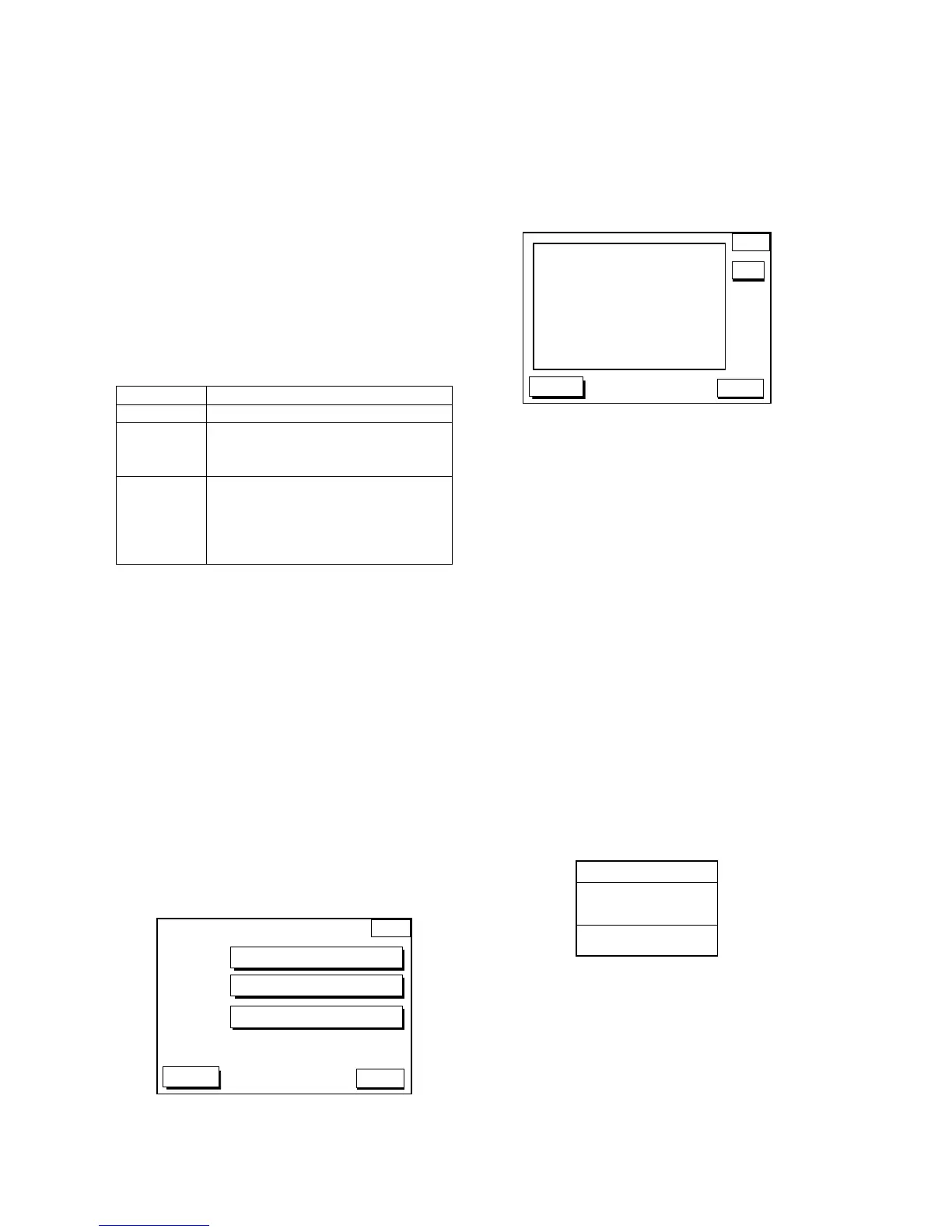
GPS/DGP
OPTION
GPS 3D
GPS SETUP OPTIONS
TD SETUP
DGPS/WAAS SETUP OPTIONS
RETURN
GPS/DGP option menu
GPS SETUP OPTIONS menu
description
This menu provides items for setting up the
GPS receiver. To display it, show the menu
shown in above, and then press the GPS
SETUP OPTIONS soft key.
GPS
OPTION
DGPS 3D
RETURN
LOCAL TIME OFFSET +00:00
GEODETIC DATUMS WGS-84
POS SMOOTHING 000 sec
SPD/CSE SMOOTHING 005 sec
GPS SPEED AVE 060 sec
LAT OFFSET 0.000'N
LON OFFSET 0.000'E
DISABLE SATELLITE _ _ _ _ _ _
LATITUDE 38°00.000'N
LONGITUDE 123°00.000'W
ANT. HEIGHT 005 m
FIX MODE 2D/3D
EDIT
▼
GPS options menu
LOCAL TIME OFFSET
GPS uses UTC time. If you would rather use
local time, enter the time difference between
local time and UTC time. Use the +<-->- soft
key to switch from plus to minus and vice
versa.
GEODETIC DATUM
The GP-1640 is preprogrammed with most of
the major chart systems of the world. Although
the WGS-84 system, the GPS standard, is now
widely used other categories of charts still exist.
Select the chart system used, not the area
where your boat is sailing. The default chart
system is WGS-84.
1. Select GEODETIC DATUMS.
2. Press the EDIT soft key to show the
geodetic datum window.
GEODETIC DATUMS
CHART DATUM
▲
AUSTRALIA
▼
WGS-84
Geodetic datum window
3. Press ▲ or ▼ to select the chart system
you are using. If no chart datum exists for
geodetic datum selected UNKNOWN
appears in the CHART DATUM window. In
this case select a different chart system.
4. Press the ENTER soft key or the [ENTER]
key to register your selection.
 Loading...