• Turn off the air conditioner and open your windows, unless
you are traveling at high speeds on the highway.
• Tighten your gas cap.
• Park in the shade or in the garage.
• Unload excess weight. Remove unneeded items from your
vehicle.
• Avoid carrying items on your roof. Remove rooftop carriers
and removable racks when not in use.
• Maintain the recommended tire pressure. Check tire pressure
regularly and before long trips.
• Keep your vehicle well-tuned, and follow the vehicle
manufacturer’s recommended maintenance intervals.
• Change your oil, oil filters, and air filters regularly.
• Use the lowest recommended suitable grade of fuel. Use
biofuels when feasible, such as E85 and biodiesel.
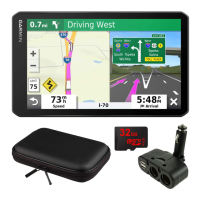
Viewing myGarmin Messages
Before you can use this feature, your device must be connected
to a supported phone running Smartphone Link (Connecting to
Smartphone Link, page 16). This feature is not available in all
areas.
You can view messages from myGarmin, such as notifications
for software and map updates.
1
Select Apps > myGarmin™.
If you have unread messages, the number of unread
messages appears on the myGarmin icon.
2
Select a message subject.
The full message appears.
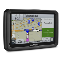
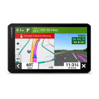
Viewing the Weather Forecast
Before you can use this feature, your device must be connected
to a supported phone running Smartphone Link (Connecting to
Smartphone Link, page 16). This feature is not available in all
areas.
1
Select Apps > Weather.
2
Select a day.
The detailed forecast for that day appears.
Viewing Weather Near a Different City
1
Select Apps > Weather > Current Location.
2
Select an option:
• To view weather for a favorite city, select a city in the list.
• To add a favorite city, select Add City, and enter a city
name.
Viewing the Weather Radar
Before you can use this feature, you must purchase Advanced
Weather service using Smartphone Link.
You can view an animated, color-coded radar map of current
weather conditions, as well as a weather icon on the map. The
weather icon changes to show weather in the vicinity, such as
rain, snow, and thunderstorms.
1
Select Apps > Weather.
2
If necessary, select a city.
3
Select > Weather Radar.
Viewing Weather Alerts
Before you can use this feature, you must purchase Advanced
Weather service using Smartphone Link.
While you are traveling with your device, weather alerts may
appear on the map. You can also view a map of weather alerts
near your current location or near a selected city.
1
Select Apps > Weather.
2
If necessary, select a city.
3
Select > Weather Alerts.
Checking Road Conditions
Before you can use this feature, you must purchase Advanced
Weather service using Smartphone Link.
1
Select Apps > Weather.
2
If necessary, select a city.
3
Select > Road Conditions.
Viewing Previous Routes and Destinations
Before you can use this feature, you must enable the travel
history feature (Device and Privacy Settings, page 19).
You can view your previous routes and places you have stopped
on the map.
Select Apps > Where I've Been.
Customizing the Device
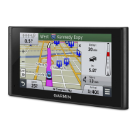
Map and Vehicle Settings
Select Settings > Map & Vehicle.
Vehicle: Sets the icon that represents your position on the map.
Go to www.garmingarage.com for more icons.
Driving Map View: Sets the perspective on the map.
Map Detail: Sets the level of detail on the map. More detail may
cause the map to draw slower.
Map Theme: Changes the color of the map data.
Map Tools: Sets the shortcuts that appear in the map tools
menu.
Map Layers: Sets the data that appears on the map page
(Customizing the Map Layers, page 11).
Audible Cautions and Advisories: Enables an audible alert to
be played for certain types of cautions and advisories, such
as speed limit changes, various road conditions, and state
and country borders. This option is available only when you
are using a truck vehicle profile.
Audible Speed Alerts: Alerts you when your vehicle is
exceeding the speed limit.
NOTE: This feature is not available in all areas.
myMaps: Sets which installed maps the device uses.
Enabling Maps
You can enable map products installed on your device.
TIP: To purchase additional map products, go to
http://buy.garmin.com.
1
Select Settings > Map & Vehicle > myMaps.
2
Select a map.
Navigation Settings
To open the Navigation settings page, from the main menu,
select Settings > Navigation.
Calculation Mode: Sets the route calculation method.
Avoidances: Sets road features to avoid on a route.
Custom Avoidances: Allows you to avoid specific roads or
areas.
Environmental Zones: Sets the avoidance preferences for
areas with environmental or emissions restrictions that may
apply to your vehicle.
Toll Roads: Sets preferences for avoiding toll roads.
Tolls and Fees: Sets preferences for avoiding toll roads and toll
stickers.
NOTE: This feature is not available in all areas.
18 Customizing the Device
 Loading...