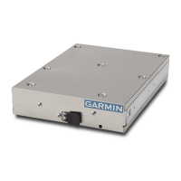
GTX 330/GTX 330D Installation Manual Page 4-5
190-00207-02 Revision R
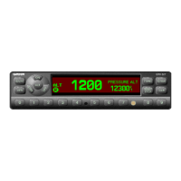
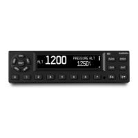
4.4 Altitude Functions
Parallel gray code altitude inputs are considered active if either the voltage to ground is < 1.9 V or the
resistance to ground is < 375 Ω. These inputs are considered inactive if the voltage to ground is 11-
33 Vdc. Refer to Figures C-6 and C-9 for parallel gray code and serial data altitude interconnections.
Carefully check encoder input lines for correct connection after wiring is complete.
NOTES
The GTX 330 contains internal altitude code line isolation diodes to prevent
the unit from pulling the encoder lines to ground when the transponder is
turned off.
If two separate altitude encoders are connected to the GTX 330, one
providing parallel gray code and the other, serial data, the unit selects only
one for use at a time, with serial data input receiving the highest priority.
For altimeters that can be connected in both serial data and parallel gray code
format, such as the Garmin GAE 43 (Garmin P/N 013-00066-00), select one
or the other but not both wiring connections.
Among the surveillance items the Mode S transponder will transmit to the ground stations and other
aircraft are altitude reporting in 25-foot increments with the proper encoder. In order to report altitude in
25-foot increments the GTX 330 must receive altitude from suitable altitude reporting devices through
serial input connections. Altitude input to the GTX 330 received from parallel wire gray code encoders is
supplied to the unit in 100-foot increments and thus reported in 100-foot increments.
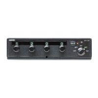
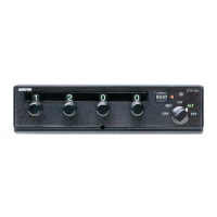
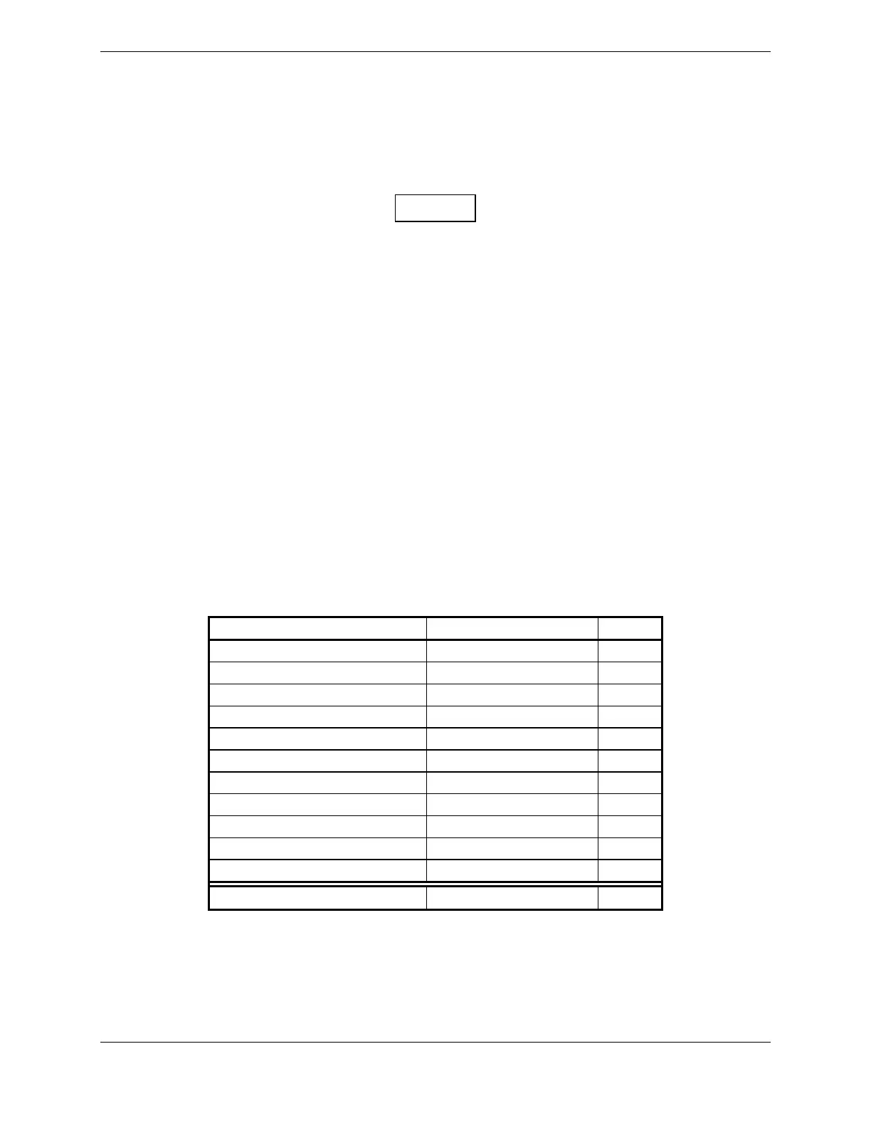
4.4.1 Altimeter Inputs
Table 4-5. Encoded Altitude Pin Assignments
Pin Name Pin Number I/O
ALTITUDE D4 11 In
ALTITUDE A1 2 In
ALTITUDE A2 4 In
ALTITUDE A4 5 In
ALTITUDE B1 7 In
ALTITUDE B2 9 In
ALTITUDE B4 10 In
ALTITUDE C1 8 In
ALTITUDE C2 3 In
ALTITUDE C4 6 In
ALTITUDE COMMON 50 --
RS-232 IN 2 24 In
4.4.2 Altimeter Calibration and Checkout
Refer to Section 5.2.14 for the gray code altitude checkout.
 Loading...