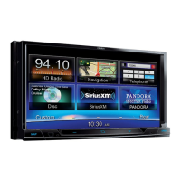
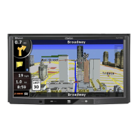
EasyManuals Logo
Home>Clarion>Car Receiver>NX503E

Clarion NX503E User Manual

Clarion NX503E
107 pages
To Next Page IconTo Next Page
To Previous Page IconTo Previous Page
Page #12 background imageLoading...
Page #12 background image
12 NX503E English
2.2 Map screen
2.2.1 Navigating on the map
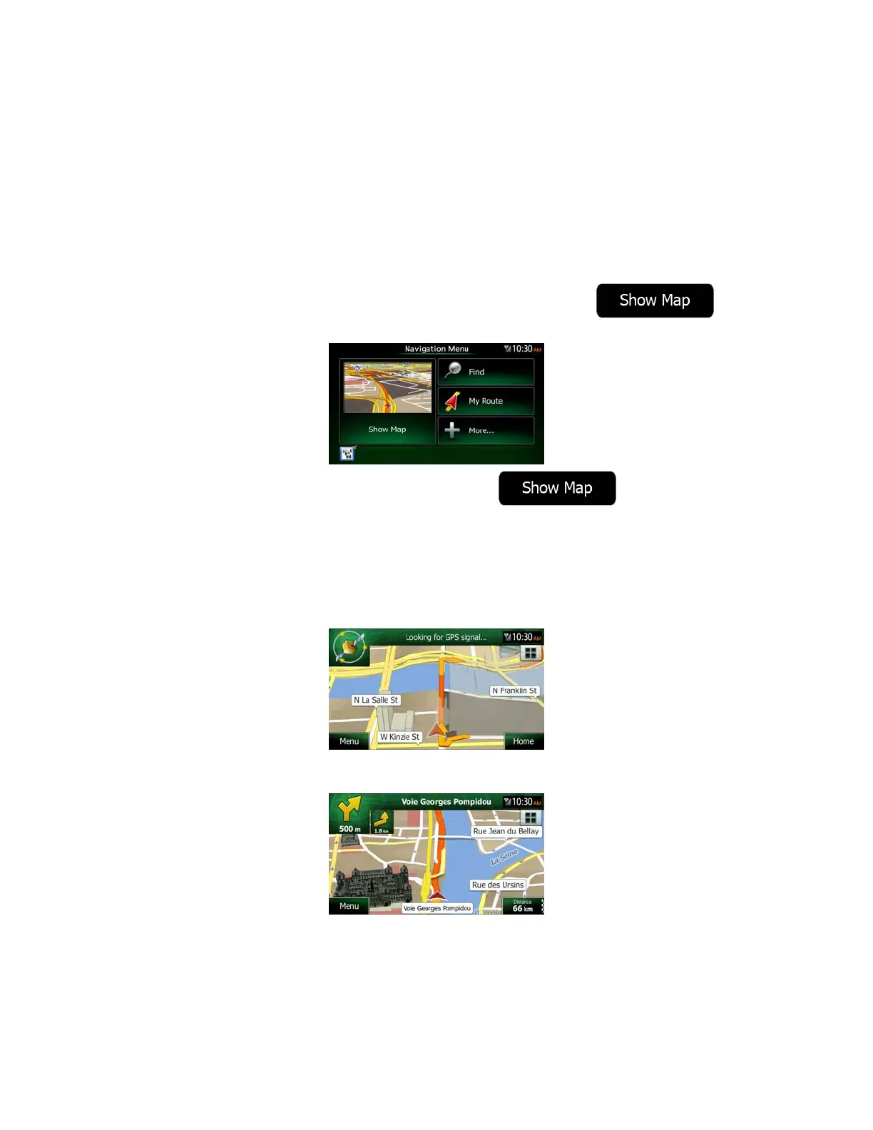
A small live map is displayed on the Navigation Menu, as a part of the
button.
To enlarge this small map and open the Map screen, tap
.
This map shows the current position (the Vehimarker, a red arrow by default), the
recommended route (an orange line), and the surrounding map area.
When there is no GPS position, the Vehimarker is transparent. It shows your last known
position.
You see coloured dots circling around a satellite symbol in the top left corner. The more green
dots you see, the closer you are to get the valid GPS position.
When GPS position is available, the Vehimarker is displayed in full colour, now showing your
current position.
There are screen buttons and data fields on the screen to help you navigate. During
navigation, the screen shows route information.

Table of Contents

Other manuals for Clarion NX503E

Questions and Answers:

Question and Answer IconNeed help?

Do you have a question about the Clarion NX503E and is the answer not in the manual?

Clarion NX503E Specifications

General IconGeneral
MP3 playback-
DVD Audio playbackYes
Aspect ratio16:9
Display typeTFT
Display diagonal6.2 \
Display resolution800 x 480 pixels
Output power18 W
Product colorBlack
Frequency range20 - 20000 Hz
Disc types supportedDVD+R, DVD+RW, DVD-R, DVD-RW
Signal-to-Noise Ratio (SNR)93 dB
AM band range530 - 1710 kHz
FM band range87.9 - 107.9 MHz
Supported radio bandsAM, FM
BluetoothNo
Line outputs (RCA)2
Weight and Dimensions IconWeight and Dimensions
Dimensions (WxDxH)178 x 157 x 100 mm

Related product manuals