EasyManuals Logo

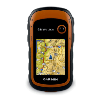
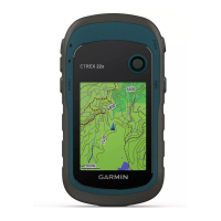
Garmin eTrex 30 User Manual

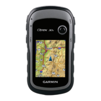
Garmin eTrex 30
60 pages
To Next Page IconTo Next Page
To Previous Page IconTo Previous Page
Page #25 background imageLoading...
Page #25 background image
eTrex Owner’s Manual 25
Applications
Calculating the Size of an
Area
1. Select Area Calculation > Start.
2. Walk around the perimeter of the
area you want to calculate.
3. Select Calculate when nished.
Using the Calculator
The device has a standard calculator
and a degree calculator.
1. Select Calculator.
2. Complete an action:
Use the standard calculator.
Select menu > Scientic to
use the scientic calculator
functions.
Select menu > Degrees to
calculate degrees.
Viewing the Calendar and
Almanacs
You can view device activity, such as
when a waypoint was saved, almanac
information for the sun and moon, and
the best times for hunting and shing.
1. Select an option:
To view device activity for
specic days, select Calendar.
To view the sunrise, sunset,
moonrise, and moonset
information, select Sun and
Moon.
To view the predicted best times
for hunting and shing, select,
Hunt and Fish.
2. If necessary, select ▲ or to view
a different month.
3. Select a day.
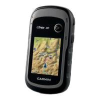
Table of Contents

Other manuals for Garmin eTrex 30

Questions and Answers:

Question and Answer IconNeed help?

Do you have a question about the Garmin eTrex 30 and is the answer not in the manual?

Garmin eTrex 30 Specifications

General IconGeneral
Outdoor (hiking, trekking)Yes
Marine (chartplotters, sounders)No
Routes quantity200
Number of waypoints2000
Form factorHandheld
Display diagonal2.2 \
Display resolution176 x 220 pixels
Display number of colors65536 colors
Display size (HxV) (imperial)1.7 x 1.4 \
Internal memory1740 MB
USB 2.0 ports quantity1
Battery typeAA
Battery life (max)25 h
Battery technologyNickel-Metal Hydride (NiMH)
Number of batteries supported2
Weight and Dimensions IconWeight and Dimensions
Depth33 mm
Width54 mm
Height103 mm
Weight141.7 g

Related product manuals