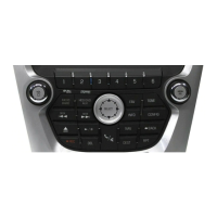
54 Infotainment System
Traffic Flow
The traffic flow status will display in
green, yellow, or red lines beside
the road.
.
Red indicates significantly
impaired traffic flow with average
speed of less than 40 km
(25 mph).
.
Yellow indicates slightly impaired
traffic flow with average speed
between 40 km and 73 km
(25 and 45 mph).
.
Green indicates normal traffic
flow with average speed above
73 km (45 mph).
Closed Road, Traffic Delays,
Roadworks, and Advisories
Select the traffic event group for
display on the map screen. Some
events may cover more than one
traffic condition. See the following
traffic conditions.
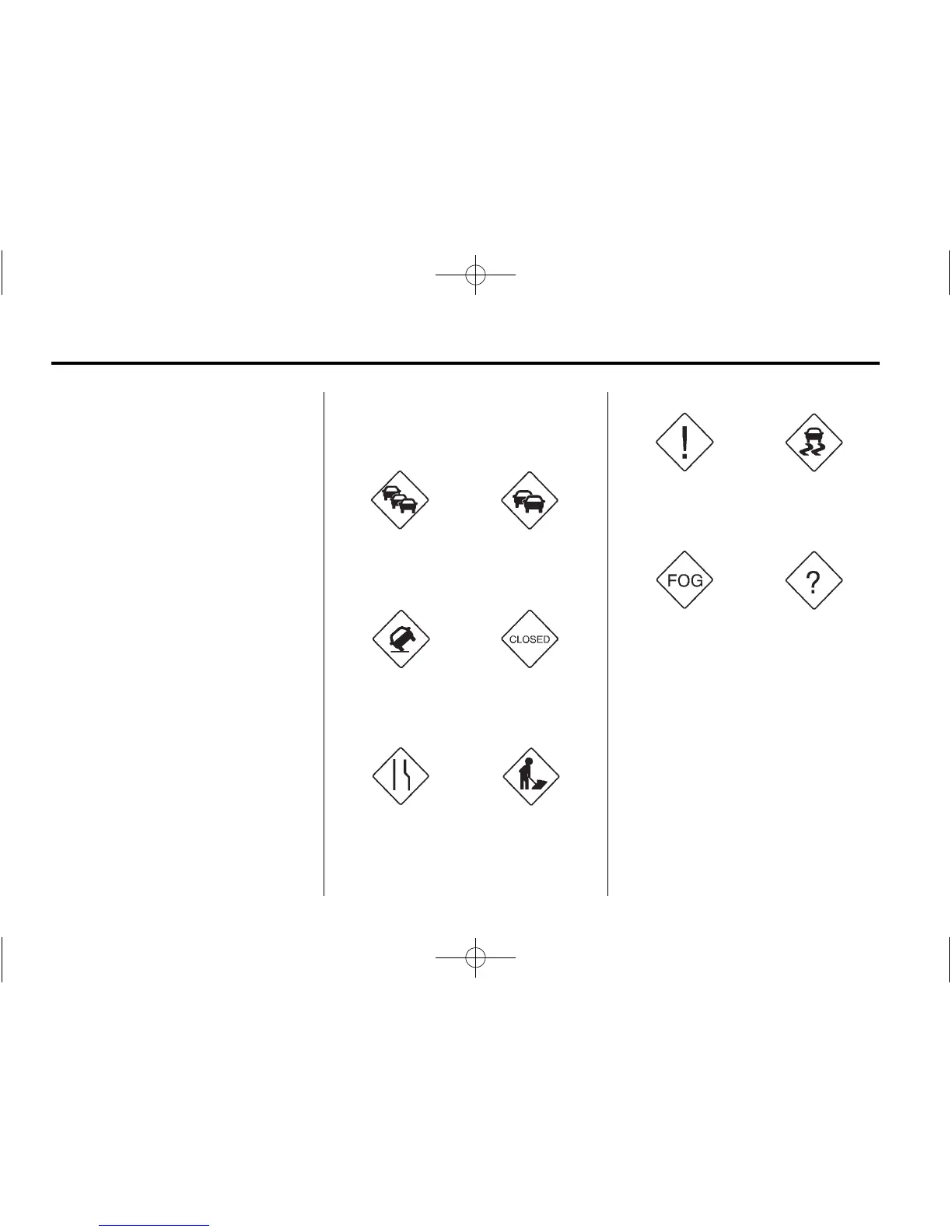
Traffic Conditions
The following traffic condition icons
may display:
Stopped Traffic Traffic Jam
Accident Road Closed
Lane Narrows Road Work,
Construction
Alert Road Condition
Road Visibility Other
Traffic Voice Prompt: Press to
enable or disable traffic prompts.
 Loading...