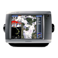
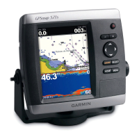
16 GPSMAP
®
400 Series Owner’s Manual
uSInG chartS
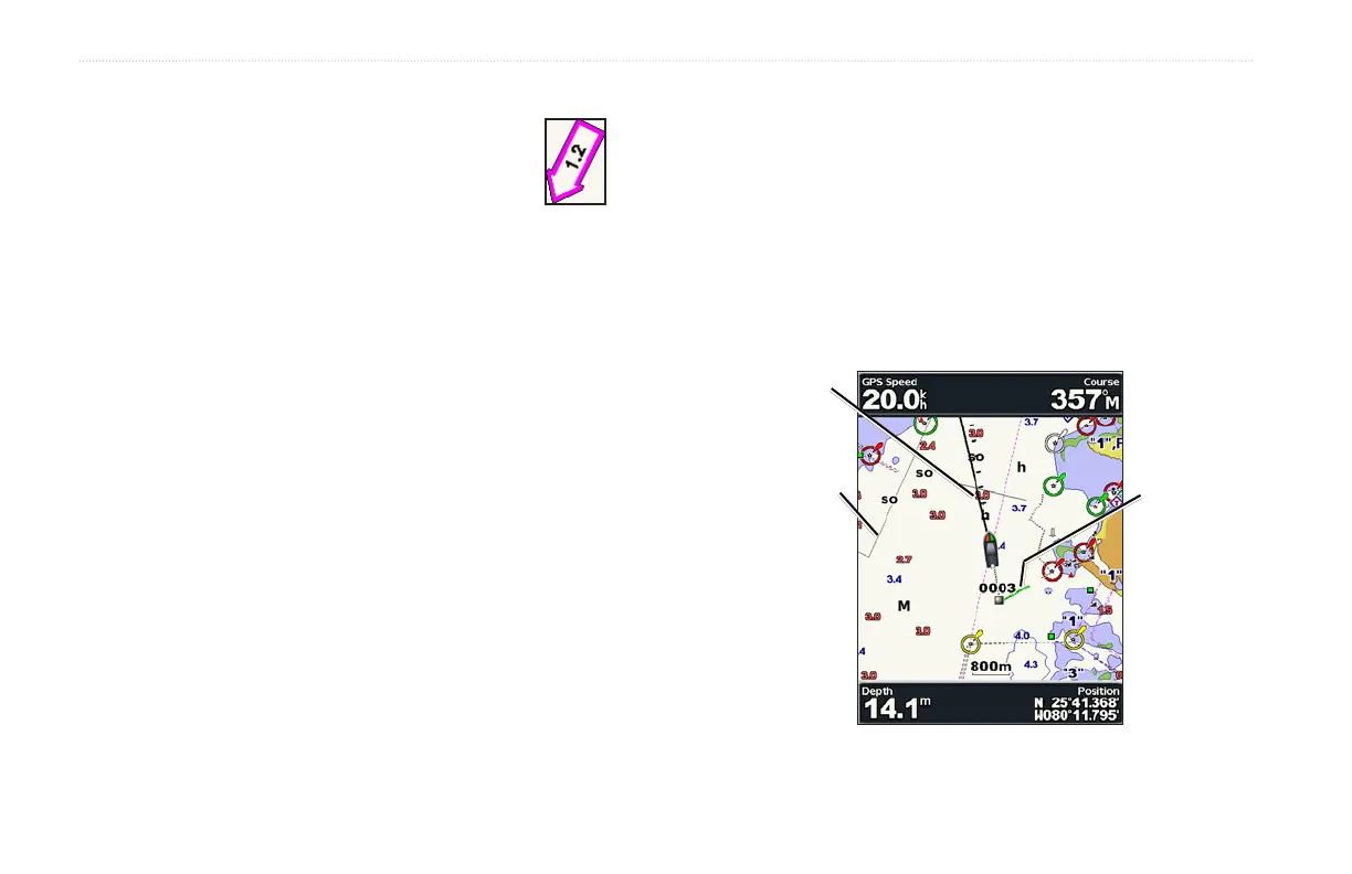
Viewing Current Station Information
If current stations are available in your g2 Vision
region, they appear on the navigation chart as a
highlighted arrow. This detailed icon shows the
current’s speed and direction at a glance.
Detailed Road and POI Data
BlueChart g2 Vision contains detailed road and POI data, which
includes highly detailed coastal roads and points of interest (POIs)
such as restaurants, lodging, local attractions, and more. For
instructions on searching for, and navigating to, these POIs, see the
“Where To?” section beginning on page 19.
Using Automatic Guidance
Automatic Guidance automatically creates and suggests passage
based on available BlueChart g2 Vision chart information. See
page 32 for instructions on setting up Automatic Guidance for your
boat. The “Where To?” section on page 19 has more information on
how to use Automatic Guidance.
Changing the Chart Settings
To change chart settings, from the Home screen, select Charts >
Chart Setup.
Orientation—change the perspective of the map display:
•
North Up—sets the top of the map display to a north heading.
•
Track Up—sets the map display to the current track heading.
•
Course Up—sets the map so the direction of navigation is
always up and turns the course line vertical on the screen.
Heading line
Track
Chart
border
 Loading...