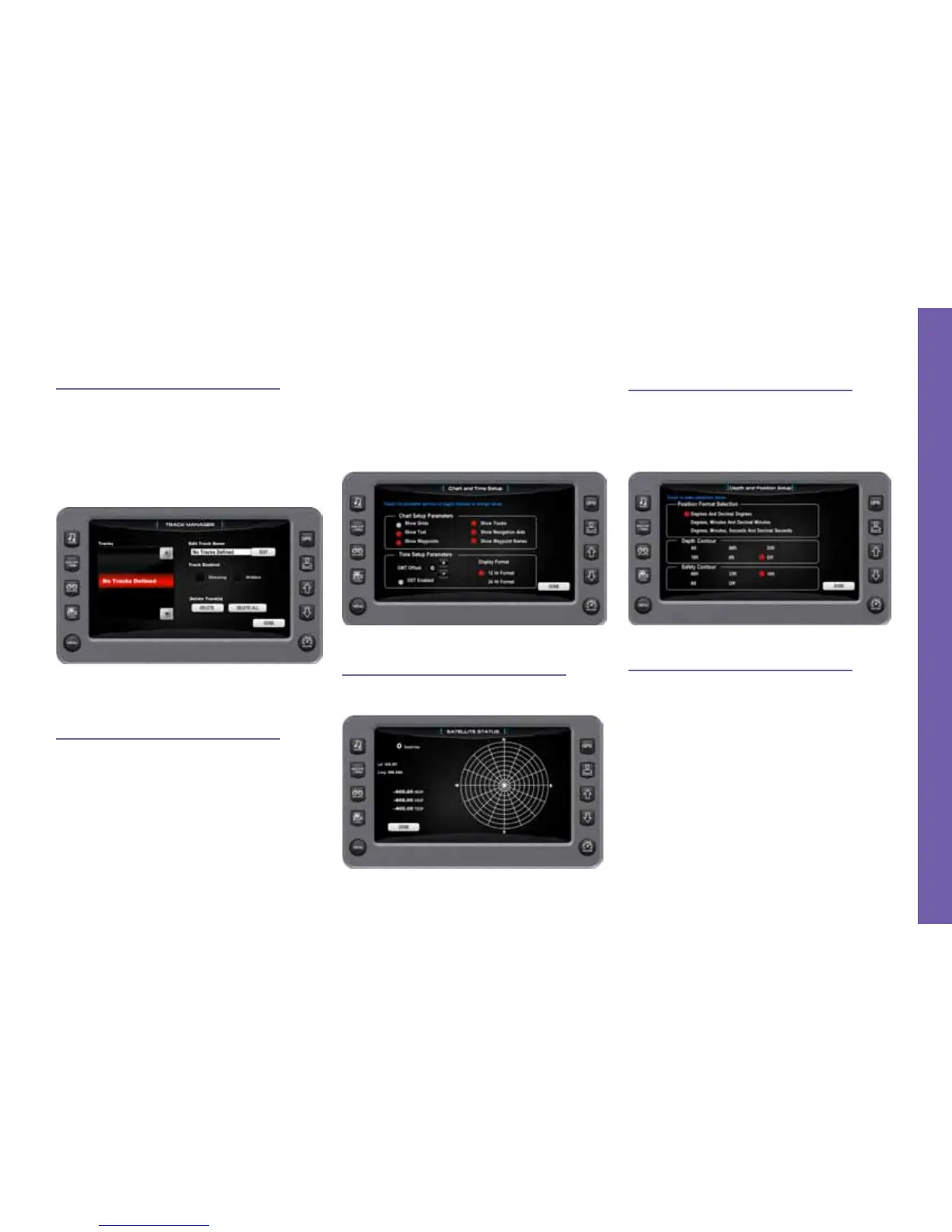
Track Manager
Multiple tracks for displaying on the
GPS map can be set up. The Track Man-
ager allows you to select tracks to “show”
on the map or “hide” a map you are not
currently using. You may [DELETE] one
track or [DELETE ALL] at once.
Chart and Time Setup
This menu option allows you to set up
viewing options for the GPS display.
Chart Setup Parameters—use the PLUS/
MINUS soft keys to select the information
you want displayed on the GPS screen.
Time Setup Parameters—is used to se-
lect correct time zone and clock mode for
either 12-hour or 24-hour time formats.
You can also enable DST (Daylight Sav-
ings Time) by using the PLUS/MINUS soft
keys to select the box.
GPS Status
This screen shows the location of the
satellites.
Depth/Position Settings
This feature allows you to dene the
amount of detail to display for latitude and
longitude information on the GPS map and
depth display.
Minimum Depth
This allows you to choose a minimum
depth (measured from the bottom of the
keel) to set off an alarm if the vessel comes
into a minimum depth situation. Choosing
[ZERO] turns this option OFF.
Gauges & Video Screens • 2014 MasterCraft Owners Manual Page 3-31
G A U G E S & V I D E O S C R E E N S
 Loading...