 Loading...
Do you have a question about the Garmin OREGON OREGON450 and is the answer not in the manual?
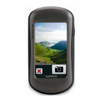
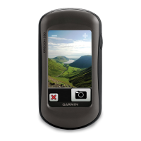
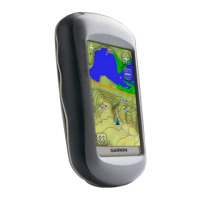
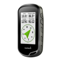
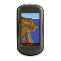
| Display Resolution | 240 x 400 pixels |
|---|---|
| Battery Type | 2 AA batteries (not included); NiMH or Lithium recommended |
| Battery Life | Up to 16 hours |
| Water Rating | IPX7 |
| High-Sensitivity Receiver | Yes |
| Interface | USB |
| Built-in Memory | 850 MB |
| Expandable Memory | microSD card (not included) |
| Waypoints/Favorites/Locations | 1000 |
| Routes | 50 |
| Track Log | 10, 000 points, 200 saved tracks |
| Geocaching-Friendly | Yes (Paperless) |
| Custom Maps Compatible | Yes |
| Photo Navigation | Yes |
| Area Calculation | Yes |
| Picture Viewer | Yes |
| Preloaded Maps | No |
| Compass | Yes (tilt-compensated 3-axis) |
| Barometric Altimeter | Yes |
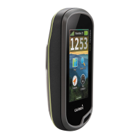
| Physical Dimensions | 5.8 x 11.4 x 3.5 cm |
| Wireless Communication | ANT+ |
| Compatibility | Garmin Connect |
| Display Size | 3.0 inches |