2017 OWNERS MANUAL / 142
CURRENT POSITION—The position of the boat. A track begins re-
cording from the current position and continues to record until the
track is cleared or saved.
CREATE WAYPOINT—Touch this button to create a waypoint at
the current position of the cursor on the map. When this button is
touched a keyboard is displayed to type a name for the waypoint.
When [DONE] is touched, the waypoint is placed on the map and
can be managed through the Waypoint Manager.
CLEAR TRACK—Touch this button to clear the currently recording track.
SAVE TRACK—Use this button to save the currently recording track.
When this button is touched, a keyboard is displayed to type a name
for the track. When [DONE] is touched, the track is diagrammed on
the map.
MAIN MENU OPTIONS
Menu Options
The Menu is displayed by pressing and holding [MENU]. The follow-
ing features are available:
GPS Utilities—Contains options to set up track and position, chart
and time, and waypoint manager. Also displays satellite status.
User Settings—Allows you to customize the display options for am-
bient light and brightness, set U.S. or metric units, specify the Home
screen and screen set-up status.
Engine Diagnostics—Displays a list of engine fault codes and de-
scriptions; on some engines, corrective action will be shown.
Utilities—Allows configuration of the unit including wire configura-
tion, plug address, fault conversion, CAN data, and fault codes. Also
displays software version information at the top of the page.
• System
• Ballast
• Auto Launch/Exit Setpoint Speed
GPS UTILITIES
The GPS Utilities includes the following:
• Waypoint Manager
• Track Manager
• Chart and Time Set-up
• Depth and Position Settings
• GPS Status
Waypoint Manager
Waypoints are a way to mark specific locations by latitude and
longitude.
After the waypoints are established, the Waypoint Manager allows
you to associate an icon with them for identification. Use the [LEFT]
and [RIGHT] arrows to navigate the screen. Delete a single waypoint
by using the [DELETE] key, or all of them at once with [DELETE ALL]
(a delete alert is displayed). Pressing the [GO TO WPT] key displays
the GPS screen containing the currently highlighted waypoint.
Waypoint List—Displays a list of the waypoints that have been set.
Use the [UP] and [DOWN] keys to highlight the desired waypoint.
Waypoint Icon—Allows you to assign one of four dierent icons to
any of the waypoints listed.
LAT/LON—Displays latitude and longitude values for the currently
highlighted waypoint on the list.
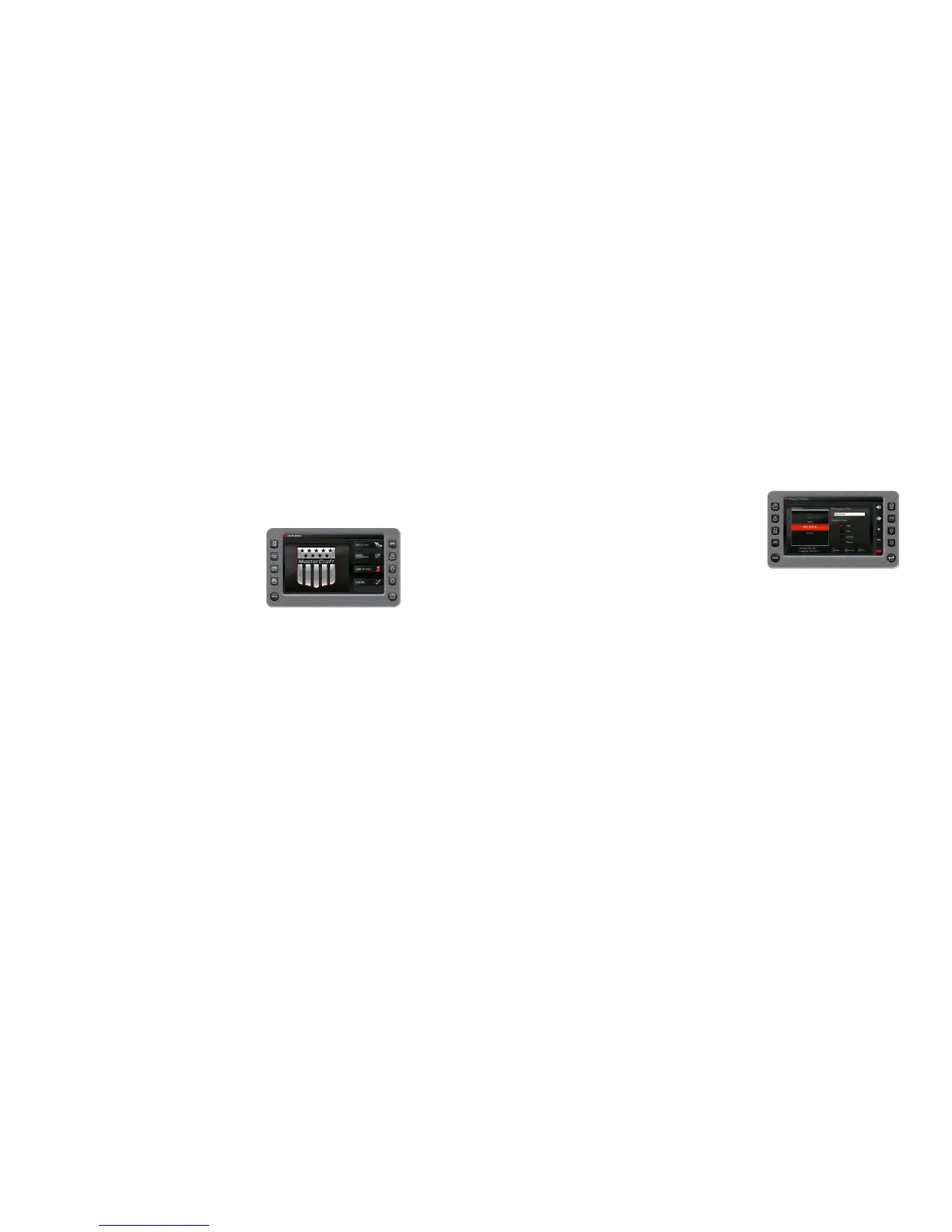
Track Manager
Multiple tracks for displaying on the GPS map can be set up. The
Track Manager is a way to select tracks to “show” on the map or
“hide” a map you are not currently using. [DELETE] one track or
[DELETE ALL TRACKS] at once (a delete alert is displayed).
 Loading...