3-6 Raynav 300 GPS Plotter
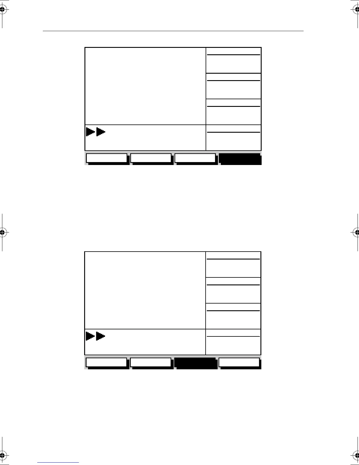
Figure 3-7: Waypoint Data #3
Boat/Environment Data
Boat Data
The Boat Data display comprises three data pages, selected in turn by the
BOAT DATA soft key. These pages are shown in Figure 3-8 to Figure 3-10:
Figure 3-8: Boat Data #1
D4942-2
OWN POS
050°M
WPT POS
COG
SOG
ROUTE GOTO GPS DATA WPT DATA
SD-FIX
STEER STARBOARD
WPT 004
12.0kts
50°50^000N
001°06^000W
50°50^000N
001°06^000W
BRG 320°M
RNG 0.55nm
D4943-2
WPT BRG
320°M
0.55nm
050°M
12.0kts
WPT RNG
COG
SOG
ROUTE GOTO BOAT DATA ENVIROMNT
SD-FIX
STEER STARBOARD
WPT 004
DEPTH 12.5m
SPEED 11kts
81171_4.BOOK Page 6 Thursday, November 29, 2001 11:34 AM
 Loading...