iv Raychart 320 Chartplotter
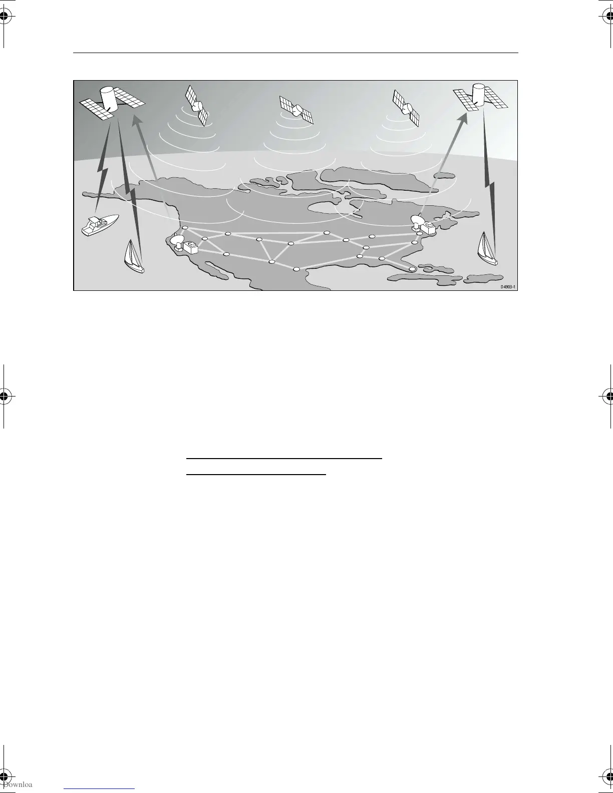
Figure i: The WAAS System
Availability of the WAAS System in North America
The WAAS system is presently broadcasting and being tested for
aviation use. It is expected to be certified by the FAA in 2002. During
this testing and certification period, continuous service is expected;
however, brief signal outages may occur as refinements and upgrades
are made to the system. The status of WAAS and planned outages are
available on-line at the following websites:
http://wwws.raytheontands.com/waas
or http://www.raymarine.com
Your unit is shipped from the factory in normal GPS mode. For
improved accuracy provided by the WAAS system, you need to
enable the WAAS capability of your unit.
➤ To enable WAAS:
1. Press the
MENU key
2. Press
GPS SETUP soft key
3. Press
FIX MODE soft key to select SD mode.
Extended Offshore Coverage
Using two GEO satellites, WAAS provides augmented differential
GPS coverage for most of North America. Since the WAAS
differential messages are broadcast by GEO satellites, the WAAS
signals cover a greater area both inland and offshore in comparison
with land based DGPS systems. Coverage for North America is
shown in Figure ii.
D4903-1
81167_3.BOOK Page iv Wednesday, November 21, 2001 2:12 PM
 Loading...