EasyManuals Logo
Home>TomTom>GPS>GO CLASSIC

TomTom GO CLASSIC User Manual

TomTom GO CLASSIC
153 pages
To Next Page IconTo Next Page
To Previous Page IconTo Previous Page
Page #100 background imageLoading...
Page #100 background image
100
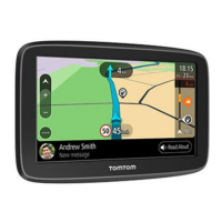
Avoiding part of a route
If part of a road is blocked or you wish to avoid part of a route, you can select a specific section of
a route to avoid.
1.
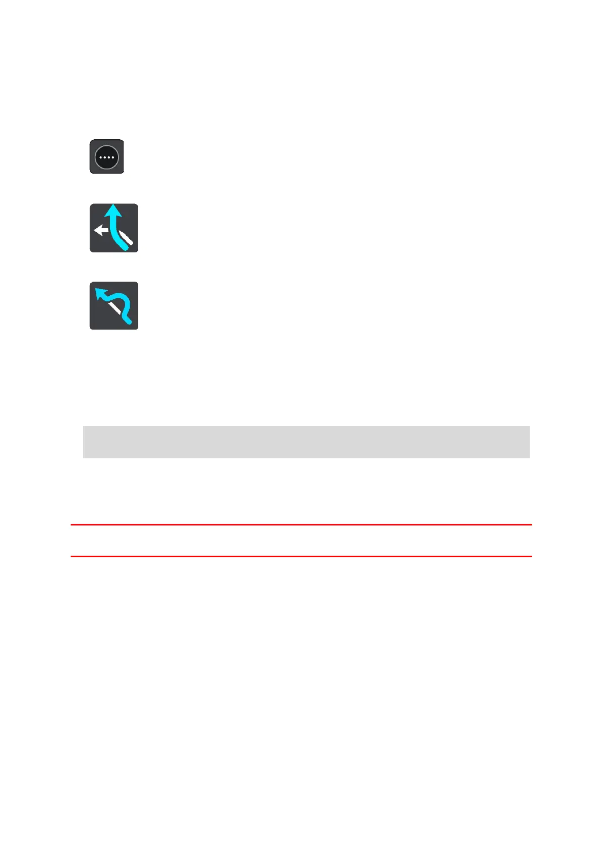
Select the Main Menu button to open the Main Menu.
2.
Select Current Route.
3.
Select Avoid Part of Route.
A screen opens showing a list of the sections that comprise your current route.
4.
Select the section of the route that you want to avoid.
A preview shows you the section you have chosen on the map.
5.
Select Avoid.
A new route is found that avoids your chosen route section. The new route is shown on the map
view.
Guidance to your destination resumes avoiding your chosen route section. As soon as you start
driving, the guidance view is shown automatically.
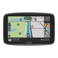
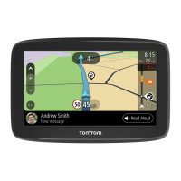
Finding an alternative route
Important: In the interest of safety and to avoid distractions while you are driving, you should
always plan a route before you start driving.
To find an alternative route, do the following:
1.
Plan a route as usual.
2.
On the map view, select the route itself.
3.
Select the pop-up menu button to open the menu.
4.
Select Alternative Route and then select Find alternative.
Up to three alternative routes are shown on the map view. Each alternative route shows the
difference in travel time in a balloon. You can also select the km/mi button to show the differ-
ence as a distance.
Note: It may not be possible to find an alternative route around the route section if none
exists.

Table of Contents

Questions and Answers:

Question and Answer IconNeed help?

Do you have a question about the TomTom GO CLASSIC and is the answer not in the manual?

TomTom GO CLASSIC Specifications

General IconGeneral
Display diagonal5 \
Touch technologyMulti-touch
Display resolution480 x 272 pixels
Placement supportedHorizontal/Vertical
Spoken languages- Afrikaans - Arabic - Australian English - Bulgarian - Catalan - Croatian - Czech - Danish - Dutch - Dutch Belgium - Finnish - French - German - Greek - Hungarian - Irish English - Italian - Lithuanian - New Zealand English - Norwegian - Polish - Portuguese - Portuguese Brazil - Serbian - Slovenian - Spanish - Spanish (Latin American) - Spanish Argentina/Latin - Spanish Chile - Swedish - Turkish - UK English - US English
Languages supportMulti
Traffic Message Channel (TMC)-
Cables includedUSB
Marine (chartplotters, sounders)No
Battery typeBuilt-in
Power source typeBattery
Battery life (max)1 h
Storage media typeFlash
Compatible memory cardsMicroSD (TransFlash)
Included memory card size32 GB
Internal storage capacity16 GB
Form factorFixed
Product colorBlack
Map coverageAll Europe
Weight and Dimensions IconWeight and Dimensions
Depth23.8 mm
Width162.5 mm
Height104.8 mm
Weight201 g

Related product manuals