EasyManuals Logo
Home>TomTom>GPS>GO CLASSIC

TomTom GO CLASSIC User Manual

TomTom GO CLASSIC
153 pages
To Next Page IconTo Next Page
To Previous Page IconTo Previous Page
Page #35 background imageLoading...
Page #35 background image
35
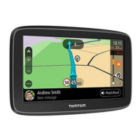
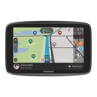
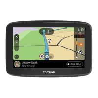
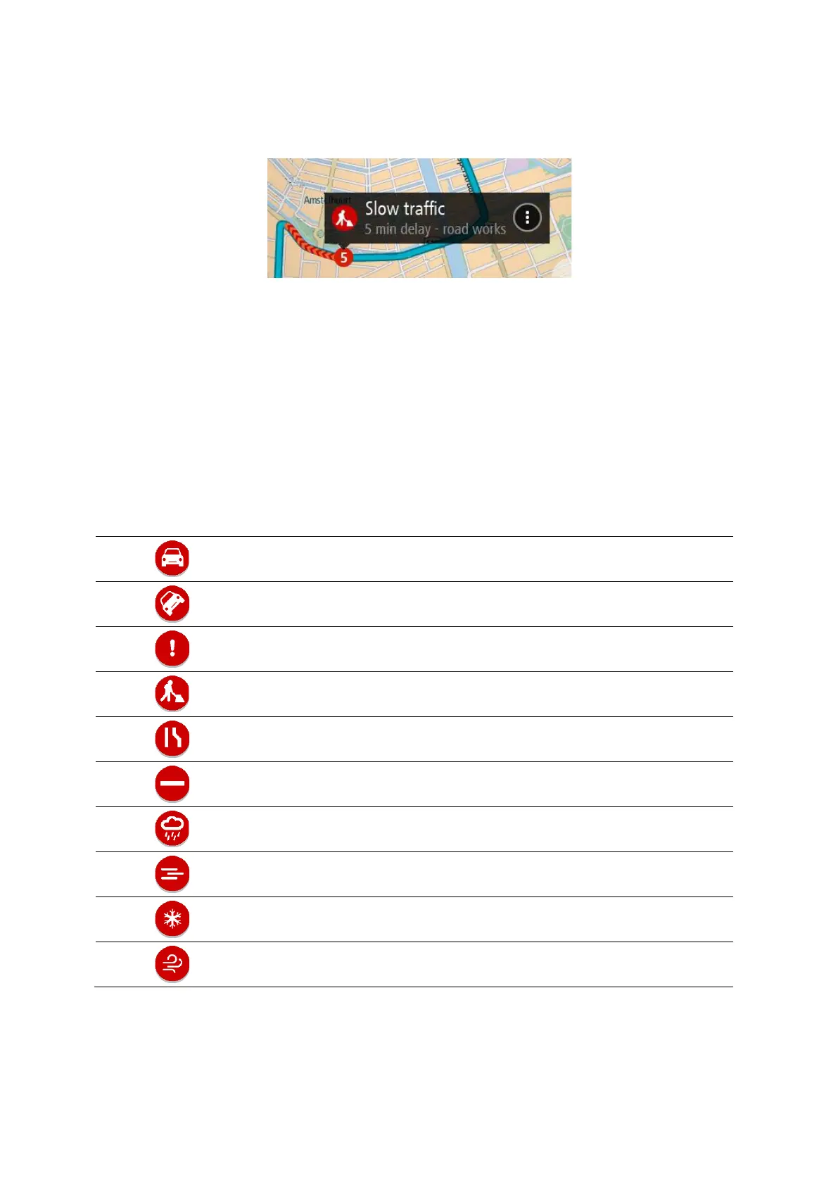
To get more information about an incident, select an incident in the route bar. The map opens
zoomed in on the incident and an information panel opens showing detailed information about the
traffic incident.
The information shown includes:
The cause of the traffic incident - for example accident, road works, lane closure, or weather.
The severity of the incident - slow traffic, queuing traffic or stationary traffic.
The delay time.
The length of the incident.
For a complete list of incident types, see Traffic incidents.
Select the back button to go back to the guidance view.
Traffic incidents
The following traffic incident symbols are used in the map view and in the route bar to show the
cause of a traffic jam:
Traffic
Accident
Dangerous conditions
Roadworks
Lane closure
Road closure
Rain
Fog
Ice or snow
Wind
The symbol or number at the start of the incident shows the type of incident or the delay in
minutes, for example 4 minutes.

Table of Contents

Questions and Answers:

Question and Answer IconNeed help?

Do you have a question about the TomTom GO CLASSIC and is the answer not in the manual?

TomTom GO CLASSIC Specifications

General IconGeneral
Display diagonal5 \
Touch technologyMulti-touch
Display resolution480 x 272 pixels
Placement supportedHorizontal/Vertical
Spoken languages- Afrikaans - Arabic - Australian English - Bulgarian - Catalan - Croatian - Czech - Danish - Dutch - Dutch Belgium - Finnish - French - German - Greek - Hungarian - Irish English - Italian - Lithuanian - New Zealand English - Norwegian - Polish - Portuguese - Portuguese Brazil - Serbian - Slovenian - Spanish - Spanish (Latin American) - Spanish Argentina/Latin - Spanish Chile - Swedish - Turkish - UK English - US English
Languages supportMulti
Traffic Message Channel (TMC)-
Cables includedUSB
Marine (chartplotters, sounders)No
Battery typeBuilt-in
Power source typeBattery
Battery life (max)1 h
Storage media typeFlash
Compatible memory cardsMicroSD (TransFlash)
Included memory card size32 GB
Internal storage capacity16 GB
Form factorFixed
Product colorBlack
Map coverageAll Europe
Weight and Dimensions IconWeight and Dimensions
Depth23.8 mm
Width162.5 mm
Height104.8 mm
Weight201 g

Related product manuals