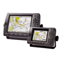
MARINE MODE
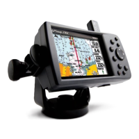
Your GPSMAP 278 comes preloaded with an enhanced worldwide basemap that depicts shorelines, roads, and surface features.
The GPSMAP 278 is compatable with BlueChart g2 marine cartography.
Marine Mode Pages
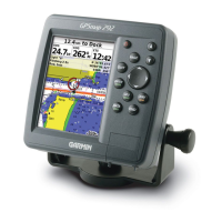
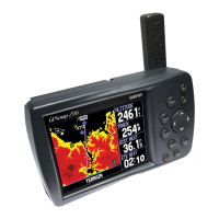
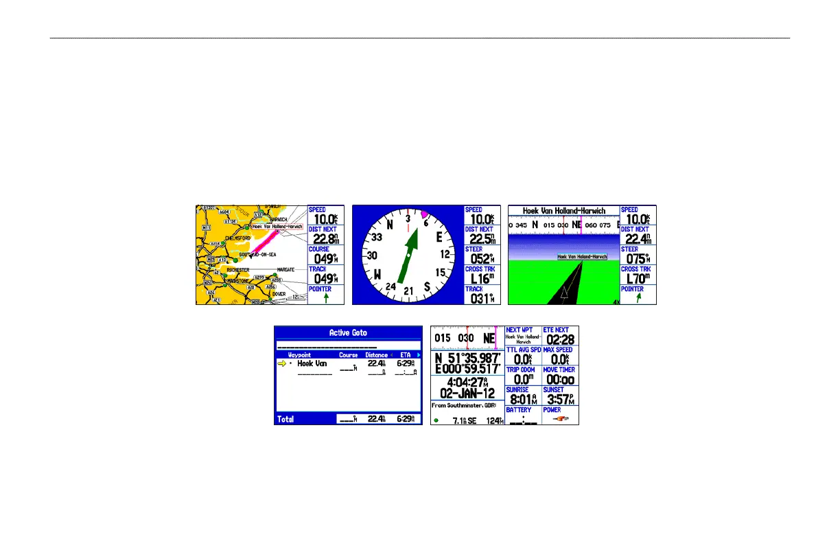
Marine Mode has five main pages: Map, Compass, Highway, Active Route, and Position Data. An optional Sonar Page is available when a
GSD 21 or GSD 20 is connected. See the “Setting Up and Using Sonar” section beginning on page 90 for more information.
Position Data Page
Active Route Page
Map Page
Compass Page
Highway Page
GPSMAP 278 Owner’s Manual 13
MARINE MODE > MARINE MODE PAGES
 Loading...