Map coverage conforms to the following conditions:
• Cartography is shown when the selected zoom scale is
covered by either the internal basemap or other MapSource
data loaded onto a data card.
• When the selected zoom scale is covered by both the internal
database and data card map information, the cartography with
the best resolution appears.
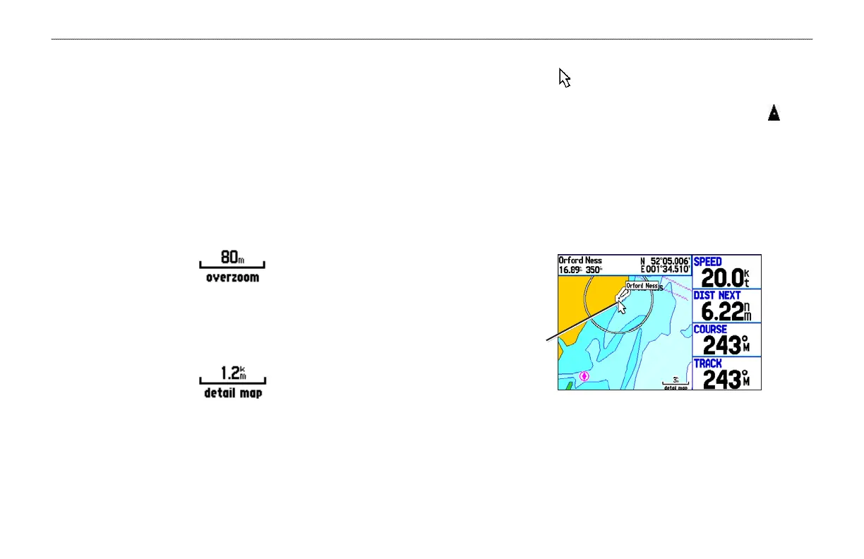
• When the selected zoom scale exceeds the resolution of the
data in use, “overzoom” appears below the map scale.
No Additional Data is Available
• When internal data (such as MapSource data) is used,
“detailed map” appears below the map scale.
Using Internal Detailed Maps
Panning the Map
Use the panning arrow to pan the map to view other map areas.
As you pan past the edge of the current map display, the screen
moves to provide continuous map coverage. The position icon
stays in your present location and might not be visible on the screen
when you pan the map.
To pan the map:
Press up, down, right, or left on the ROCKER. The panning
arrow moves the map so you can view different parts of the
map.
Map feature
highlighted
As you move the arrow, the distance and bearing from your present
location to the arrow appears in the data window, along with the
arrow’s position coordinates. When you zoom in pan mode, the
arrow stays centered on the screen. When the arrow is stationary,
fixed coordinates appear in the position field, and the distance and
bearing from your present location update as you move.
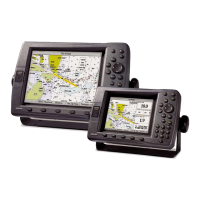
46 GPSMAP 278 Owner’s Manual
MARINE MODE PAGES > MAP PAGE
 Loading...