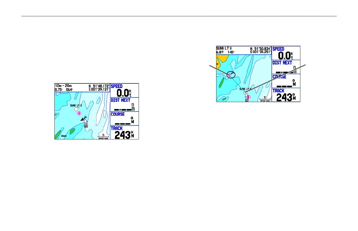
Measuring Distance
You can measure the distance and bearing between two map items.
To measure the bearing/distance between two points:
1. On the Map Page, press MENU to open the options menu.
2. Highlight Measure Distance, and press ENTER. An
on-screen arrow appears on the map at your present location
with ENT REF below it.
3. Move the arrow to the reference point (the starting point that
you want to measure from), and press ENTER. A push pin
icon marks the starting point.
4. Move the arrow to the point want to measure to. The bearing
and distance from the reference point and arrow coordinates
appear in the data window at the top of the display.
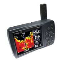
Measure Distance
End point of
measurement,
labeled
ENT REF
Push pin
indicating the
beginning
point of the
measurement
5. Press QUIT to finish.
48 GPSMAP 278 Owner’s Manual
MARINE MODE PAGES > MAP PAGE
 Loading...