1. OPERATION
20
How to erase all waypoints
1. Open the menu, select [Data] and press
the ENTER key.
2. Select [Delete All WPT] and press the
ENTER key.
3. Select [Yes] and press the ENTER key.
1.19.4 How to set destination
waypoint
Set a destination waypoint to show the range,
bearing and time-to-go to that point, on the
Nav data display. See the next section for de-
tails.
1. Open the menu, select [Data] and press
the ENTER key.
2. Select [Go to WPT] and press the ENTER
key.
3. Select a destination waypoint and press
the ENTER key.
1.20 Setting Up Nav
Data Displays
The user may arrange the nav data displays
as desired.
1.20.1 Nav data displays
1. Rotate the MODE knob to select the Nav
data display to change. (This window is
displayed for 10 seconds.)
2. Use S or T to select a data display win-
dow desired.
3. Use W or X to select the item to display.
The items that can be displayed depend
on the screen division.
4. Press the ENTER key.
Note: Applicable data must be input to
the 12-24 VDC/NMEA port in order to dis-
play the data mentioned in the table be-
low.
Note 1: When a data is lost 30 sec., the dis-
play shows "- -" at the lost data’s location.
Note 2: A triducer w/speed sensor is required
to display distance, distance run and speed
through the water. A triducer w/temperature
sensor is required to display water tempera-
ture.
/
: Window Selection
/
: Data Selection
[ENTER] : Set
[MENU] : Cancel
Necessary data Item
Longitude/latitude
position
Position, waypoint
data, course, range
and bearing, time-to-
go to destination,
XTE
Bearing Compass, heading
Ship speed Speed over the
ground, speed
through the water
([Speed Source] on
[Data] menu set for
[NMEA])
Wind speed,
wind angle
Wind speed, wind an-
gle
Atmospheric
pressure
Atmospheric
pressure
Water temp. Water temperature
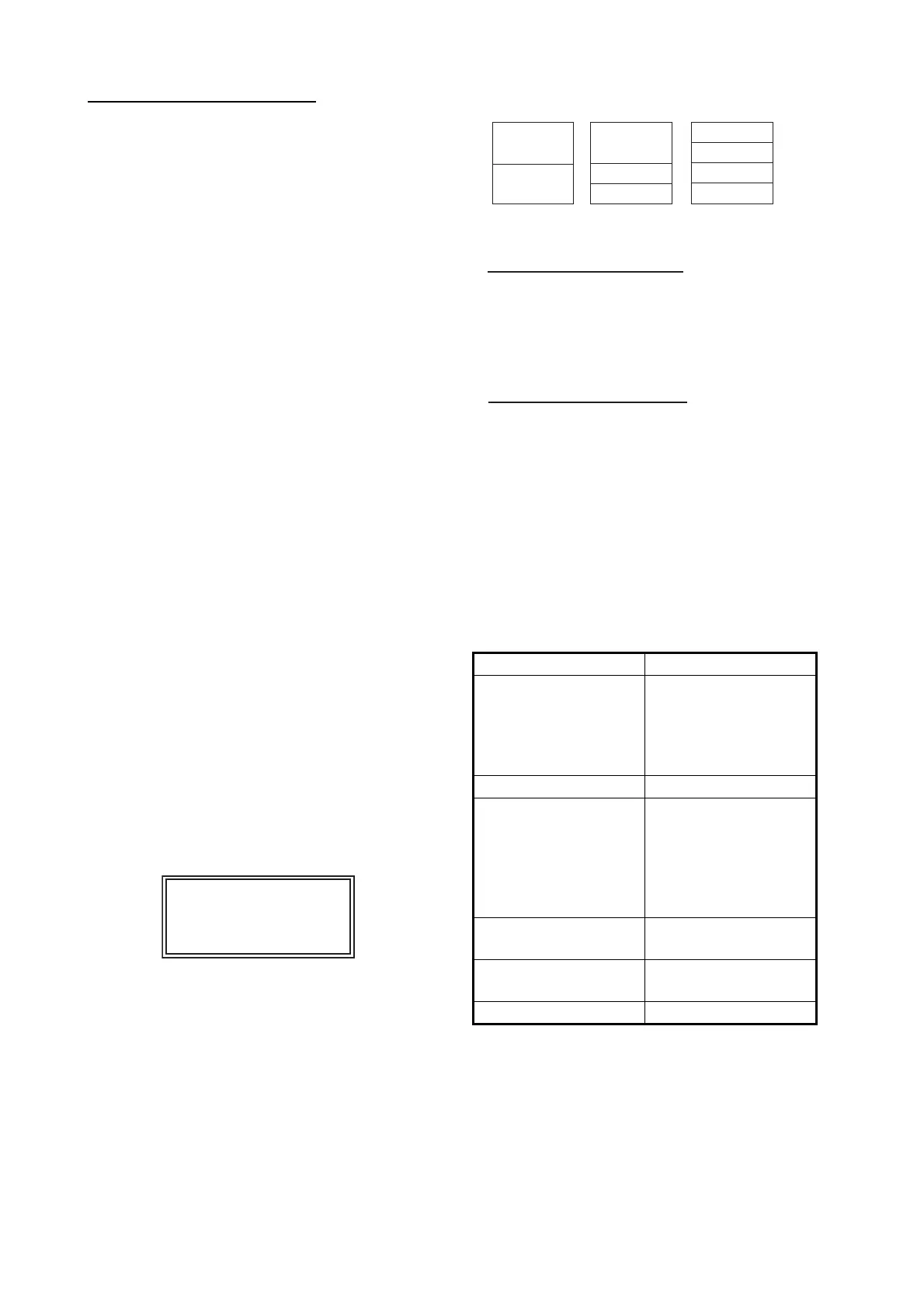
(1)
(2)
(3)
(4)
(5)
(6)
(7)
(8)
(9)
Two-data
display
Three-data
display
Four-data
display
Items displayable in (1) - (3): speed (STW)*,
wind speed and direction*, destination
waypoint data*, compass*, heading*, depth,
position, course, range and bearing, trip
meter, odometer, water temperature, air
pressure, time-to-go to destination waypoint,
XTE*, speed (SOG)*
Items displayable in (4) - (9): depth, position,
speed (SOG), speed (STW), course, range
and bearing, trip meter, odometer, water
temperature, heading, wind speed, wind
direction, air pressure, time-to-go to
destination waypoint, XTE
* = Graphic display
 Loading...