1. OPERATIONAL OVERVIEW
1-14
1.8.4 Description of home screen displays
Full screen displays
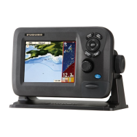
Plotter: See page 1-7.
Tide & Celestial: Your plotter provides for calculation of the tide heights for any date.
Additionally this display shows the time of sunrise, sunset, moonrise and moonset.
See section 1.17.
GPS status display: The GPS status display shows the location and RX signal
strength of each satellite being received. See section 11.4.
Half screen displays
The half screen displays provide the plotter display, highway display, navigation data,
and navigation data plus a graphic display (graph or meter). In most displays the data
can be changed. See the end of this section for how to change data.
Plotter: See page 1-7.
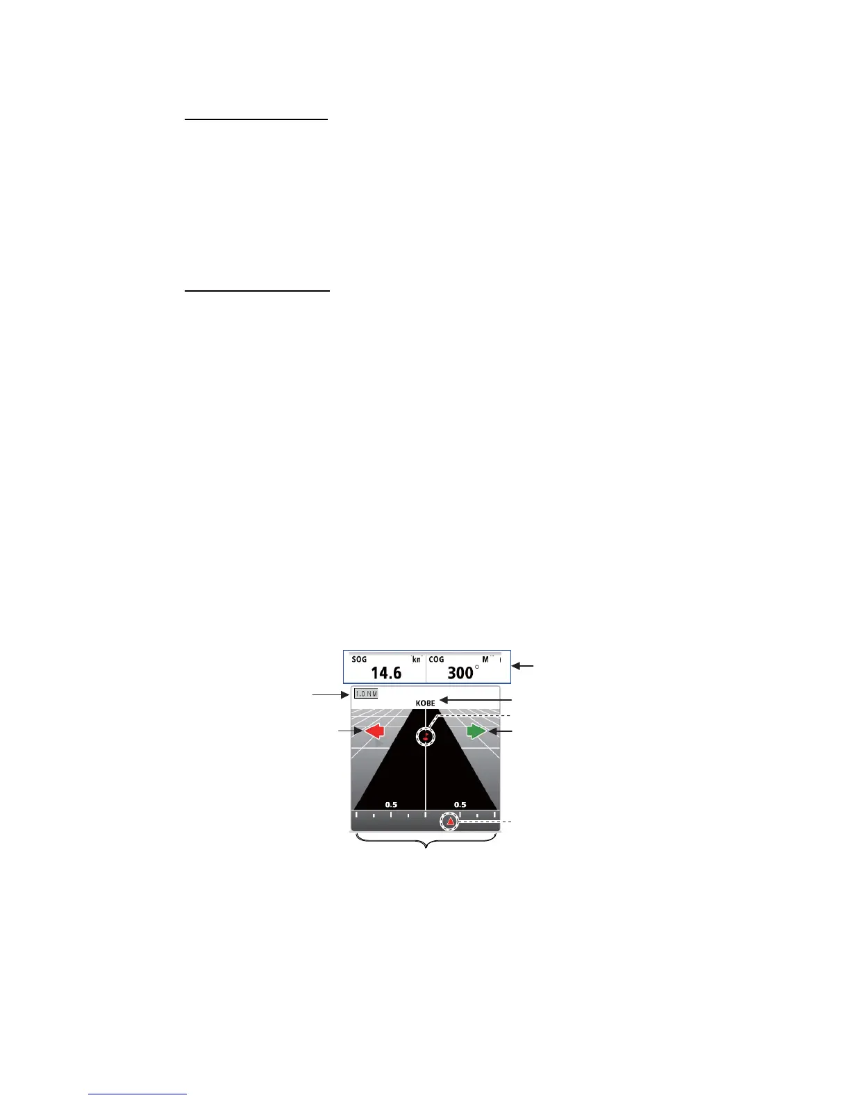
Highway: The highway display provides a graphic presentation of your boat’s track
along intended course, and is useful for monitoring ship's progress toward a waypoint.
You can zoom in and zoom out the display by rotating the RotoKey
TM
. The vertical
line at the center of the screen is your intended course and the name of the waypoint
you are steering to is at top of the line. Steer your boat so that the own ship marker in
the XTE scale stays near zero. If you go off course, the direction to steer to return to
your course is indicated with the color-coded steer direction arrow. The arrow is red
when you should steer to port; green when you should steer to starboard. The width
of the navigation lane (black area in the figure below) and the XTE (cross-track error)
range scale are equal to the XTE alarm setting. In the example illustration, the boat is
off course to the starboard side by approx 0.3 nm. Rotate the RotoKey
TM
to change
the display range.
Navigation data
(selectable)
Own ship marker (red)
Steer direction arrow (green)
(Steer right to keep course.)
WPT name
Steer direction arrow (red)
(Steer left to keep course.)
XTE range scale
(equal to XTE alarm range)
Note: Both steer direction arrows
are not displayed at the same
time in actual operation. They
are displayed here for demon-
stration purpose.
Waypoint (red)
Display range
 Loading...