18.1Chartapplicationoverviewand
features
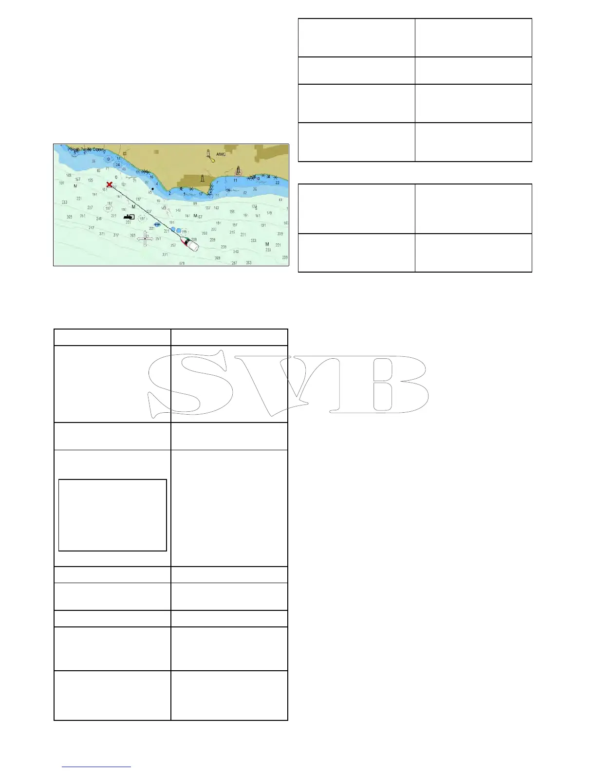
Thechartapplicationprovidesrouteplanning
andnavigationfeatures.TheChartapplicationis
pre-loadedwithaLightHouseChartsandNavionics
worldbasemaps.Compatibleelectroniccharts
canbeusedtoexpandtheinformationanddetail
regardingyoursurroundingsandchartedobjects.
Dependingoncartographytypethechartapplication
canbesetto2Dor3Dview.
TypicalChartapplicationincludesthefollowing
featurestohelpyounavigateyourvesselsafelyand
effectively:
Features
Satellite-basednavigation.•GPSStatus
Routeplanningwith
waypoints,routesandtracks.
•17.1Waypointsoverview
•17.2Routes
•17.3Tracks
•8.5Savinguserdataand
usersettings
Navigatingusingwaypoints,
routesandtracks.
•18.3Navigationoptions
Choiceofelectronic2Dand
3Dcartography.
Note:Toobtainfull3D
detail,youmusthave
chartcardscontaining
3Dcartographyforthe
appropriategeographic
area.
•18.2Electroniccharts
overview
–LightHousecharts
–Navionicscharts
•Electronicchart
specication
•Selecting2Dand3Dchart
views
Enablinggraphicaloverlays.
•18.11Overlays
Waypoints,routesandtracks
backupandtransfer
•8.5Savinguserdataand
usersettings
Displaychartvectors
•18.12Chartvectors
Displayanimatedcurrentand
tideinformation
•Animatedcurrent
information
•Animatedtideinformation
Viewinginformationfor
chartedobjectsanddeciding
whichobjectsshouldbe
shownorhidden.
•18.13Cartographyobjects
•18.14Objectinformation
Controlthelevelofdetailed
informationdisplayedinthe
Chartapplication
•18.10Chartdisplay
•Chartdetail
Measuringdistancesand
bearings.
•18.18Measuringdistances
andbearings
AltertheChartapplication’s
orientationtobettersuityour
needs.
•18.7ChartOrientation
Change(offset)thevessel
positionintheChart
application.
•18.8Chartmotionmode
Chartapplicationsynchronization
Wirelesselectronicchart
(plotter)syncandwaypoint
syncwithNavionicsMobile
Marineapp.
•Navionicsmobilemarine
app
•NavionicsFreshestData
Planyourjourneyathome,
thentransfertheroutesto
yourMFD.
RefertotheVoyagerPlanner
manualformoreinformation
(81339).
Chartdatum
Thechartdatumsettingaffectstheaccuracyofthe
vesselpositioninformationdisplayedinthechart
application.
InorderforyourGPSreceiverandmultifunction
displaytocorrelateaccuratelywithyourpaper
charts,theymustbeusingthesamedatum.
Thedefaultdatumforyourmultifunctiondisplayis
WGS1984.Ifthisisnotthedatumusedbyyour
papercharts,youcanchangethedatumused
byyourmultifunctiondisplay,usingthesystem
preferencespage.Thesystempreferencespage
canbeaccessedfromthehomescreen:Set-up>
SystemSettings>SystemPreferences>System
Datum.
Whenyouchangethedatumforyourmultifunction
display,thechartgridwillsubsequently
moveaccordingtothenewdatum,andthe
latitude/longitudeofthecartographicfeatureswill
alsochangeaccordingly.Yourmultifunctiondisplay
willattempttosetupanyGPSreceivertothenew
datum,asfollows:
•IfyourmultifunctiondisplayhasabuiltinGPS
receiveritwillautomaticallycorrelateeachtime
youchangethedatum.
•IfyouhaveaRaymarineGPSreceiverusing
SeaTalkorSeaT alk
ng
,itwillautomatically
correlateeachtimeyouchangethedatumonthe
multifunctiondisplay.
•IfyouhaveaRaymarineGPSreceiverusing
NMEA0183,orathird-partyGPSreceiver,you
mustcorrelateitseparately.
Itmaybepossibletouseyourmultifunctiondisplay
tocorrelateanNMEA0183GPSreceiver.Fromthe
homescreengotoSet-up>Systemsettings>GPS
Set-up>ViewSatelliteStatus.Ifthedatumversion
isdisplayed,itmaybepossibletochangeit.From
thehomescreengotoSet-up>Systemsettings>
DataSources>GPSDatum.
230aSeries/cSeries/eSeries
 Loading...


