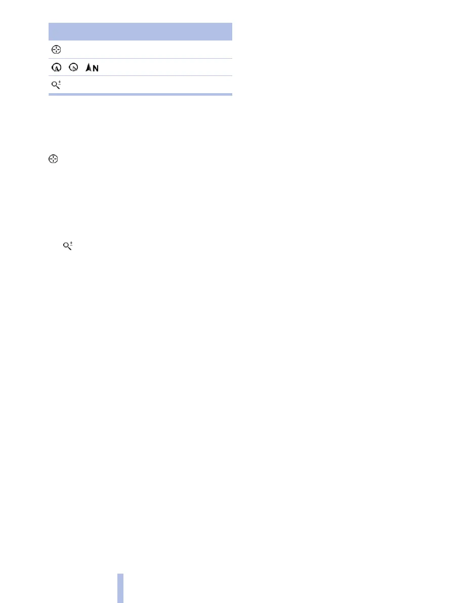
Symbol Function
Interactive map.
Set map view.
Changes the scale.
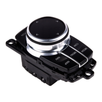
To switch to the toolbar, tilt the controller to the
left.
Change map section
"Interactive map"
▷ To move the map: tilt the controller in the
corresponding direction.
▷ To move the map diagonally: tilt the control‐
ler in the corresponding direction and turn it.
Changing the scale
1.
Select the symbol.
2. To change the scale: turn the controller.
Automatically set scale
In the north-facing map view, turn the controller
in any direction until the scale shows AUTO. The
map shows the entire distance between the lo‐
cation and destination.
Settings for map view
The settings are saved for the remote control
currently in use.
1.
"Navigation"
2. "Map"
3. Call up "Options".
4. "Settings"
Set map view.
▷ "Day/night mode"
Selecting by light ratios and making set‐
tings.
"Traffic situation/grey map" Active: setting
is not taken into account.
▷ With Professional navigation system:
"Satellite images"
Depending on the availability and resolution,
satellite images* are displayed in scales of
2 km to 1000 km, approx. 1 mile to 600 miles.
▷ With Professional navigation system:
"Perspective view in 3D"
Distinctive locations in the navigation data
are shown on the map in 3D.
▷ "Traffic situation/grey map"
The map is optimised to the display of traffic
information, see page 151. Symbols of
points of interest are no longer displayed.
▷ With Professional navigation system:
"Weather"
Weather symbols* are displayed on the map
when route guidance is active.
Displayed symbols: clear skies, overcast
skies, rain, thunderstorms and snow, with
the highest and lowest temperatures in each
case.
The information is updated when starting or
continuing route guidance or when chang‐
ing the destination.
The symbols are displayed in specific se‐
lected scales.
With Business navigation system:
Arrow view
The map is displayed on the control display.
1.
Call up "Options".
2. "Arrow view on map"
The arrow view is shown on the map.
With Business navigation system:
Position display
The current position is displayed on the Control
Display as coordinate data or, if possible, with
town and street.
1.
Call up "Options".
2. "Current position"
Position is displayed.
Seite 150
150
Online Edition for Part no. 01 40 2 607 643 - 07 11 490
Navigation
 Loading...