Acquiring Satellite Signals
It may take 30 to 60 seconds to acquire satellite signals.
1 Go outdoors to an open area.
2 If necessary, turn on the device.
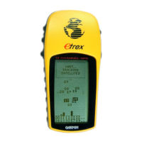
3 Wait while the device searches for satellites.
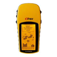
flashes while the device determines your location.
shows the satellite signal strength.
Turning On the Backlight
Select any key to turn on the backlight.
The backlight turns on automatically when alerts and messages are displayed.
Opening the Main Menu
The main menu gives you access to tools and setup screens for waypoints, activities, routes, and more
(Additional Main Menu Tools, page 12).
From any page, select menu twice.
Waypoints, Routes, and Tracks
Where To? Menu
You can use the Where To? menu to find a destination to navigate to. Not all Where To? categories are
available in all areas and maps.
Finding a Location Near Another Location
1 Select Where To? > menu > Search Near.
2 Select an option.
3 Select a location.
Stopping Navigation
Select Where To? > Stop Navigation.
Waypoints
Waypoints are locations you record and store in the device. Waypoints can mark where you are, where you are
going, or where you have been. You can add details about the location, such as name, elevation, and depth.
You can add a .gpx file that contains waypoints by transferring the file to the GPX folder (Transferring Files to
Your Device, page 22).
Creating a Waypoint
You can save your current location as a waypoint.
1 Select Mark Waypoint.
2 If necessary, select a field to make changes to the waypoint.
3 Select Done.
Waypoints, Routes, and Tracks 3
 Loading...
