S2E-17-0208_OM_WR2120_C
66
: Wavelength [m]
: Dielectric factor
: Transmitted power [mW]
: Horizontal -3 dB antenna beamwidth [rad]
: Vertical -3 dB antenna beamwidth [rad]
: Pulse width [μs]
: Antenna gain [dBi]
:Loss of system [dB]
This definition of the radar constant is based on the following radar equation.
: Distance from the radar [m]
: Received power [mW]
(*5) In Dual or Triple PRF case, Nyquist velocity is expand by multi PRF method.
(*6) This value is antenna-end output power. It contains the waveguide (TX chain) loss.
5.4. Data Size
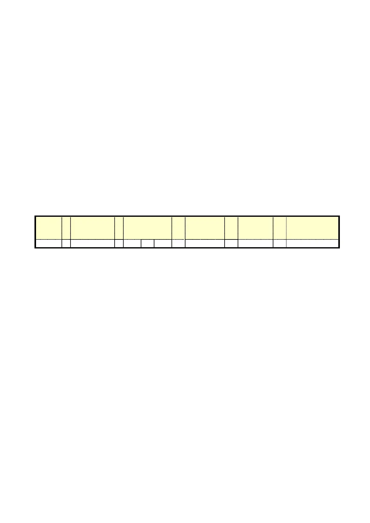
1) Standard setting of single scan size (one complete azimuth rotation).
Observation
angularity
information
2) File size per hour
12,960,088 byte x 3600 sec. / 6 sec. = approx. 7.8GB (7,776,052,800)
3) File size at 30 days
7,776,052,800 byte x 30 days x 24 hrs. = approx. 5.6TB
Notice:
Basically data capacity can be compressed around 50 to 70%. However the compression ratio depends on
weather condition (Clear weather data will compress into smaller file than active weather data).
If the user would like to decrease the actual data size, some data must be eliminated to reduce generated file
size. Data settings can be adjusted in RainMap to reduce the range of data points and the sweep time per
rotation.
For “csv” format one file will be generated for each checked item and each scan rotation and output to csv file.
All normal configured data required for csv file format will be saved in each file regardless of the individual
checked fields to ensure structured file information..
Sample setting:
Azimuth scan speed: 3 rpm
Vertical scan speed: 6 deg./sec.
Elevation angles: 2, 4, 6, 8, 10, 12, 14, 16, 18, 20, 25, 30 and 40 degrees (13 angles)
Volume scan interval: 5 min.
Required speed = 13 x 15.55784 x 8 / (5 x 60) = 5.39 [Mbps]
 Loading...