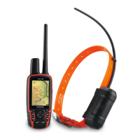
Astro 320 and DC40 Owner’s Manual 31
Navigation
You can measure the distance between
two points.
1. Press MAP > MENU.
2. Select Measure Distance.
An arrow appears at your current
location.
3. Move the arrow to the point you
want to measure from, and press
ENTER.
4. Move the arrow to another point.
The distance appears on the map.
You can display up to four data elds
at the top of the map to provide travel
and navigational information.
1. From the main menu, select Setup
> Map > Data Fields.
2. Select the number of data elds.
3. Press MAP > MENU.
4. Select Change Data Fields.
5. Select a eld.
A list of data eld options appears
(page 69).
6. Select an option.
You can use the Find menu to search
for waypoints, cities, and coordinates.
You can download and navigate
to photos, tracks, and geocaches.
Additional categories appear if you
have optional, compatible detailed
maps loaded on the device. When you
open a category, the list contains items
near your current location or the map
pointer (if active).
You can navigate to a destination using
the map or compass.
1. From the main menu, select Find.
2. Select a category.
 Loading...