190-00207-02 GTX 330/330D Installation Manual
Rev. U Page 5-15
RS-232 OUTPUT (Altitude Source)
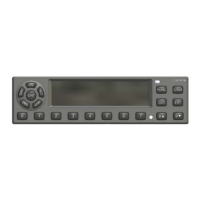
5.2.11 Operation Configuration Pages
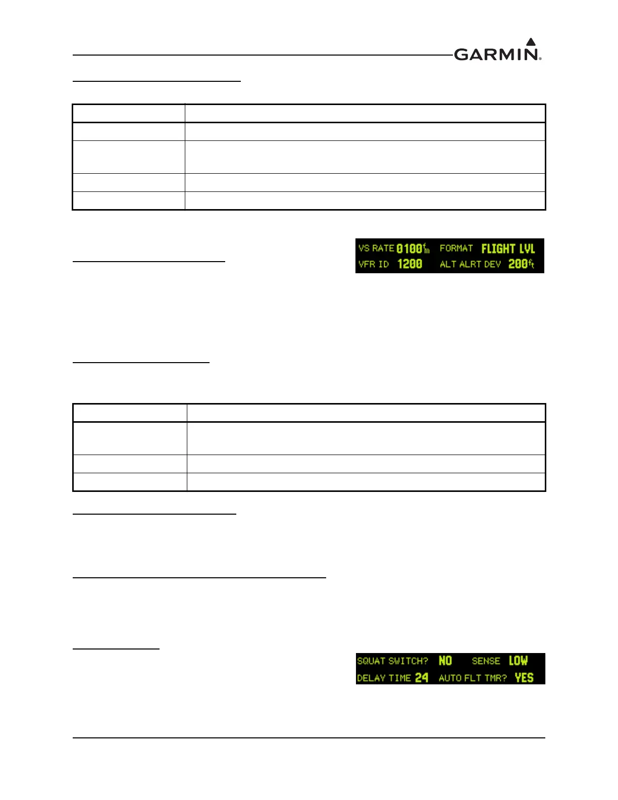
VS RATE (Vertical Speed Rate)
This field is the typical vertical speed for climb/descent of the
aircraft. The settable number determines the rate of climb the
GTX 330 assumes as liftoff for starting the flight timer and operational functions. The range is 100 feet
per minute to 9999 feet per minute, and is set to 500 fpm at the factory.
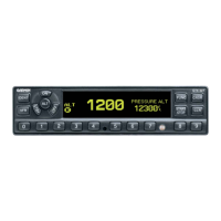
FORMAT (Altitude Format)
This field determines how the pressure altitude is shown on the GTX 330 display.
VFR ID (VFR Transponder Code)
This field is the four-digit code that is selected when the user presses the GTX 330 VFR key. In the United
States, 1200 is the VFR code for any altitude. The default is set to 1200.
ALTITUDE ALERT DEVIATION (Altitude Format)
This field determines the amount of altitude difference from selected altitude to generate an altitude alert
deviation. It is set to 200 feet, the minimum altitude, at the factory.
SQUAT SWITCH
The squat switch field may be set to either YES or NO.
Selecting YES in this field sets the GTX 330 to use the squat
switch to determine lift off. Selecting NO sets the GTX 330
to use Automated Airborne Determination from other sources.
Table 5-16 RS-232 Output Selections
SELECTION DESCRIPTION
OFF DEFAULT for channel 2. No unit is connected to output of this channel.
ICARUS ALT DEFAULT for channel 1. RS-232 serial altitude from an Icarus Instruments
3000.
REMOTE RS-232 serial output remote data. Reserved for future use.
REMOTE + TIS RS-232 serial output remote data with TIS.
Table 5-17 Altitude Format Selections
SELECTION DESCRIPTION
FLIGHT LVL
(Flight Level)
DEFAULT. The pressure altitude is displayed in hundreds of feet. For
example, a pressure altitude of 12,300 feet is displayed as “FL 123”.
FEET Pressure altitude is displayed in feet.
METERS Pressure altitude is displayed in meters.
Second CONFIGURATION Page
 Loading...