Garmin Pilot for iOS User’s Guide
190-01501-00 Rev. F
71
Plan
Overview Plan File Fly Subscriptions Appendices Index
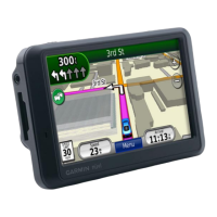
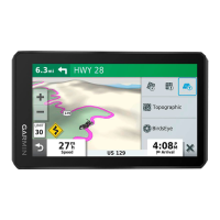
INFRARED SATELLITE (IR SAT)
IR Sat displays infrared composite satellite images of cloud cover taken by
geostationary weather satellites.
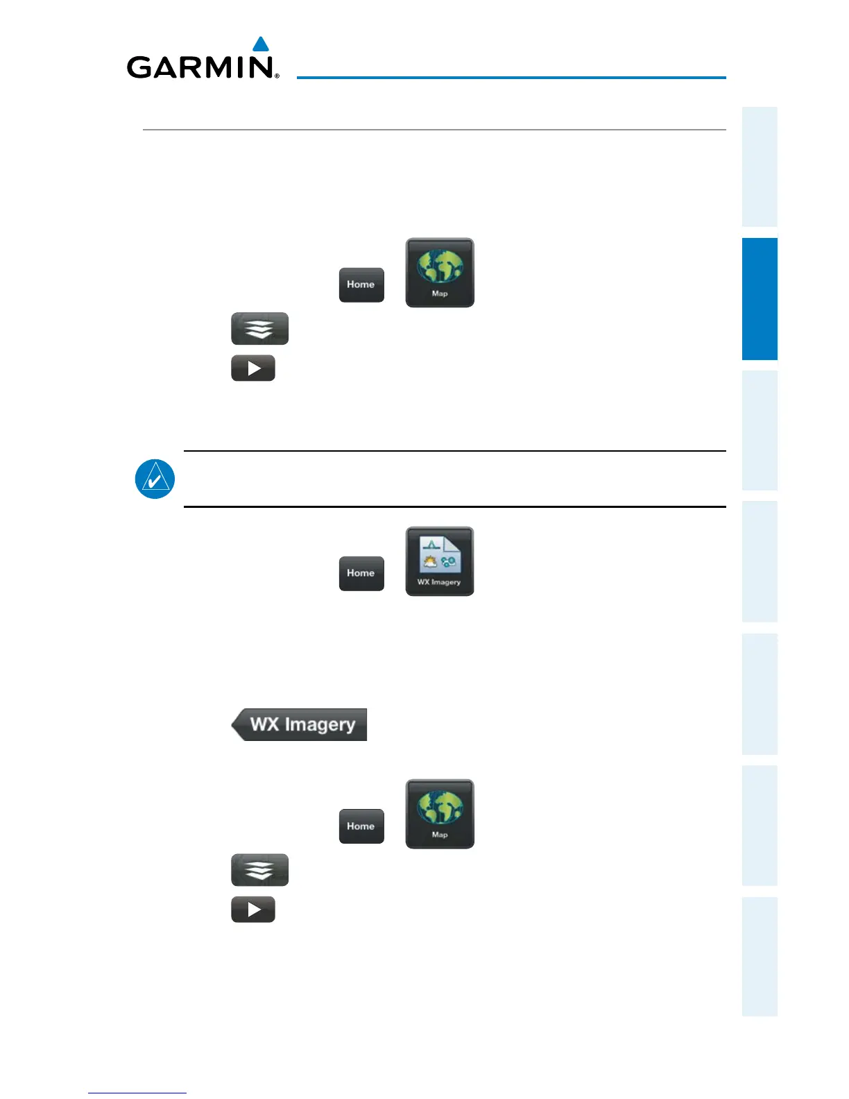
Viewing Infrared Satellite Information:
1)
From any page touch > .
2)
Touch > Overlays > IR Sat.
3)
Touch to animate the satellite loop. Each frame of the satellite loop
is time stamped. The time stamp is just right of the play button.
Or:
NOTE:
Weather Imagery (WX Imagery) maps can be pinch zoomed for a closer
look.
1)
From any page touch > .
2)
Select IR Satellite from the list.
3)
Select the icon for the desired coverage area to display the National
Weather Service static aviation weather map. Worldwide IR Satellite
weather imagery is available.
4)
Touch to return the WX Imagery Region Submenu.
Viewing Visible Satellite Information (Vis Sat):
1)
From any page touch > .
2)
Touch > Overlays > Vis Sat.
3)
Touch to animate the satellite loop. Each frame of the satellite loop
is time stamped. The time stamp is just right of the play button.
 Loading...