Garmin Pilot for iOS User’s Guide
190-01501-00 Rev. F
73
Plan
Overview Plan File Fly Subscriptions Appendices Index
Or:
NOTE:
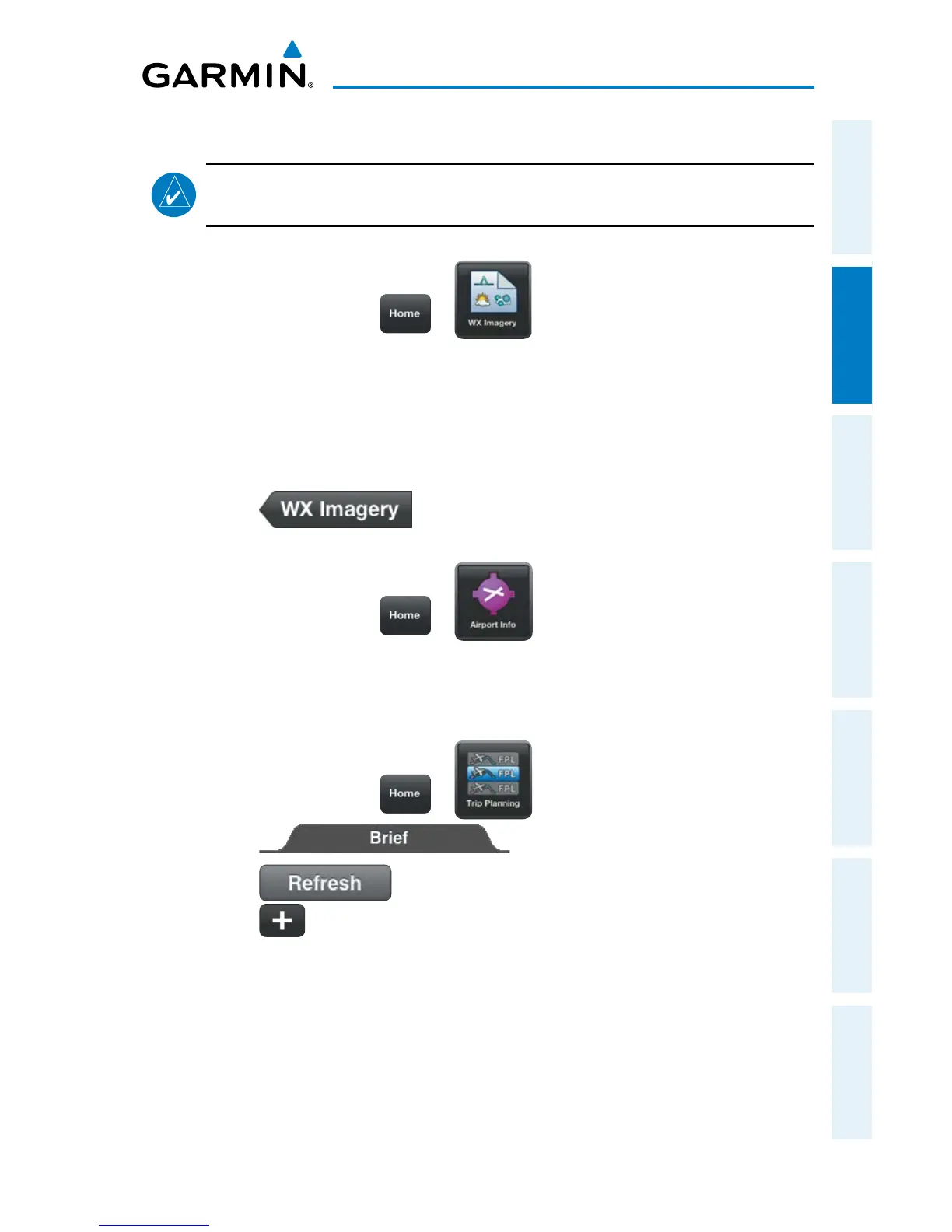
Weather Imagery (WX Imagery) maps can be pinch zoomed for a closer
look.
1)
From any page touch > .
2)
Select Winds Aloft from the list.
3)
Select the icon for the desired coverage area to display the National
Weather Service static aviation weather map. Winds Aloft maps are
available for the Continental US from 00hr, up to 84hr forecast. Altitudes
are available from the surface to 48,000 feet in 3,000-foot increments.
4)
Touch to return the WX Imagery Region Submenu.
Or:
1)
From any page touch > .
2)
Select the Weather Tab to view METAR, TAF, and Winds Aloft for the
selected airport.
Or:
1)
From any page touch > .
2)
Touch
3)
Touch if necessary to update the weather information.
4)
Touch to expand Winds Aloft, to view the winds for the route of
flight.
 Loading...