 Loading...
Do you have a question about the Leica GS18 and is the answer not in the manual?
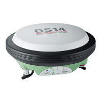
| Type | GNSS RTK Rover |
|---|---|
| GNSS Signals | GPS, GLONASS, Galileo, BeiDou, QZSS, SBAS |
| Tilt Compensation | Yes |
| Frequency Bands | L1, L2, L5 |
| RTK Accuracy Horizontal | 8 mm + 1 ppm |
| RTK Accuracy Vertical | 15 mm + 1 ppm |
| Data Storage | Internal memory |
| Communication | Bluetooth |
| Power | Internal Li-Ion battery |
| Positioning Accuracy Static Vertical | 5 mm + 0.5 ppm |
Covers safety introduction, definition of use, limits, responsibilities, and warning message types.
Details risks like electrocution, distraction, and introduces hazard identification.
Focuses on securing working sites, accessories, and lightning strike precautions.
Addresses electric shock risks in wet conditions and hazards of unauthorized product opening.
Outlines risks related to battery handling, mechanical stress, temperature, and short circuits.
Covers hazards of improper disposal, repair safety, and electromagnetic compatibility.
Details interference risks from accessories, intense radiation, and improper cable connections.
Provides precautions for using radio and cellular devices near the product.
Details specific button press actions and combinations for the GS18.
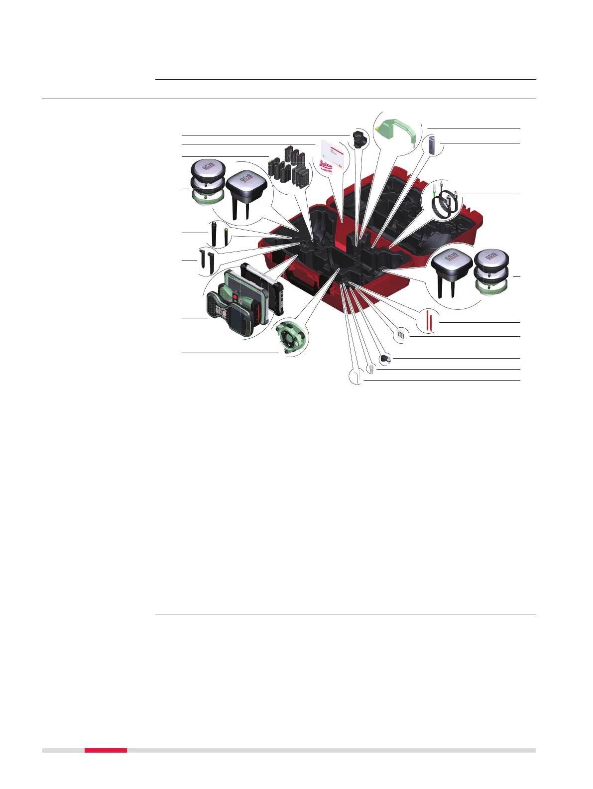
Describes the equipment setup process for a post-processing base.
Details the setup process for real-time base stations.
Provides step-by-step instructions for setting up with an external RTK device.
Describes the setup process for real-time rover operations.
Provides step-by-step setup instructions for the GS18 UHF model.
Details the step-by-step process for installing necessary USB drivers.
Explains connecting to the PC via USB and accessing the Web server.
Explains the functionality and benefits of tilt compensation.
Provides detailed steps for configuring and using tilt compensation.
Details accuracy based on measurements and differential code/phase.