Action Result
Application example:
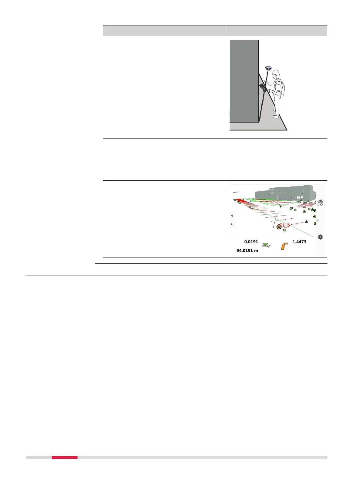
8. Stake points
Leica Captivate - Home: Stake
points
The position of the tilted GS18 is
shown in the 3D viewer.
9. Stake out the point. The values
are valid for the tip of the pole.
4.5 Working with the GS imaging App
The camera can be used to capture images of an object of interest.
In respect to the user, the camera needs to be directed toward the left or the
right side, so that it always faces the object of interest while walking along it.
To assure a good visual overlap of the images, the system captures the images
with a rate of 2 Hz.
In order to get the best accuracy of point coordinates computed from the
images, the images within one sequence should be captured along a U-shaped
trajectory.
The images captured within one sequence will be stored as an image group.
The coordinates of any characteristic point captured in the images can be
computed right away. One point needs to be picked manually in one image.
The algorithm will automatically nd the picked point in other images from the
image group. The algorithm will select and use the images that are the most
optimal for the calculation of the 3D position of the point.
Advantages:
Description
42 Operation

 Loading...