Chapter 5: Operation 97
Tide Information
At detailed chart scales, placing the cursor over a Tide Height or Current
symbol for more than 0.5 seconds enables detailed tide information to be
displayed in an object information pop-up box. Soft keys enable Sun/
Moon Data and Previous/Next Day information to be displayed.
Tidal Height
➤ To obtain Tide Height Data:
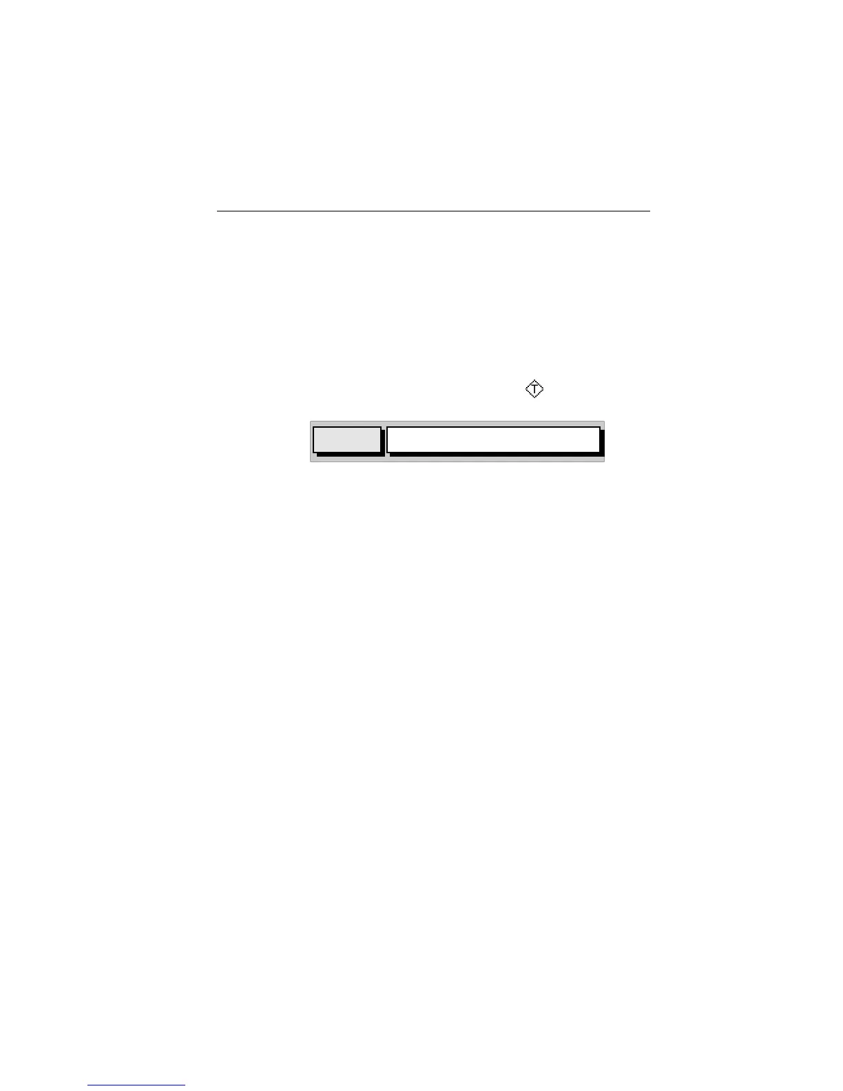
1. Place the cursor over a Tide Height symbol .
The Tidal Heights soft key and help text appear.
2. Press ENTER to show t h e Tid a l Heights information (Figure 5-19 ) or
CLEAR to cancel the operation. If no Fix is available (to provide date
information), a warning box appears.
The “Port Name” is that supplied by the Gold Chart cartridge. The Tidal
Height graph is automatically scaled. The cursor, represented by a dashed
line, can be moved along the horizontal axis by means of the Trackpad. A
CURSOR data box below the graph shows corresponding TIME and
HEIGHT.
Times and heights of HIGH WATER and LOW WATER are shown.
DATE and TIME for TODAY (default) are shown with PREVIOUS/NEXT DAY
information available via the MORE OPTIONS soft key; repeated presses
of these two soft keys moves the date back/forward one day at a time.
3. To return to chart display, press CLEAR.
D4972_1
TIDAL
HEIGHTS
"ENTER"FOR TIDAL INFORMATION,
"CLEAR" OR MOVE CURSOR QUITS
 Loading...


