20
Note: You cannot select an incident on the device map.
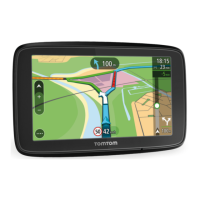
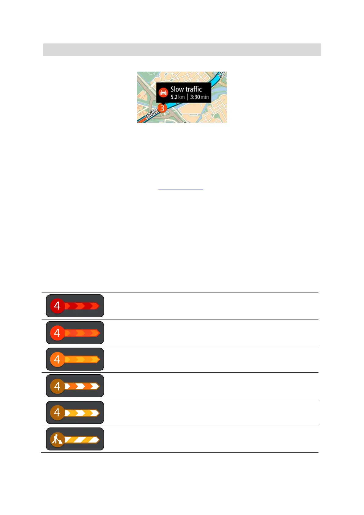
The information shown includes:
The type of traffic incident - general, accident, road works, lane closure or weather such as
heavy rain or snow.
The severity of the incident - slow traffic, queuing traffic or stationary traffic.
The delay time.
The length of the incident.
For a complete list of incident types, see Traffic incidents.
Tap the map or the back button to close the information panel.
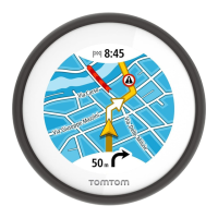
Traffic incidents
Traffic incidents and warnings are shown on the VIO app map and on the device. The expected
delay time in minutes is shown in the symbol. If the reason for the jam is known, for example road
works or an accident, then this is also shown in the symbol.
The length the coloured tube along the road on the map shows the length of the incident. The
colour of the incident indicates the speed of traffic relative to the maximum allowed speed at that
location, with red being the slowest. The stripes on the traffic jam are also animated to show the
speed of the traffic, where appropriate (Android only).
Traffic incident symbols:
 Loading...