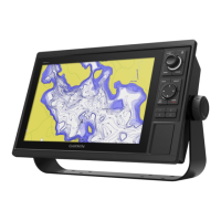
Sonar Alarms
CAUTION: The Safe Depth and Safe Height settings inuence
how the chartplotter calculates an Auto Guidance line. If an area
has an unknown water depth or an unknown obstacle height, the
Auto Guidance line is not calculated in that area. If an area at the
beginning or the end of an Auto Guidance line is shallower than
the safe water depth or lower than the safe obstacle height, the
Auto Guidance line is not calculated in that area. On the chart,
the course through those areas appears as a gray line. When your
boat enters one of those areas, a message appears.
Shallow Water/Deep Water—allows you to set an alarm to sound
when you enter an area of water that is too shallow or deep. Select On,
and then specify a depth. You must be receiving sonar NMEA data for
this function to work.
Water Temp—allows you to set an alarm to indicate if the water
temperature has exceeded or dropped below a specic temperature,
or fallen outside/inside a specic temperature range. Select Above
or Below, and then enter a specic temperature, or select Inside or
Outside and enter a range of temperatures. You must be receiving
sonar NMEA data for this function to work.
Drift—allows you to set an alarm to sound when you exceed a
specied drift distance. Select On, and then enter a specic distance.
Fish—allows you to set an alarm to sound when sh are detected
with sonar.
Calendar Tab
Use the Calendar tab to plan trips, as well as view sun and moon,
and hunting and shing information for the day.
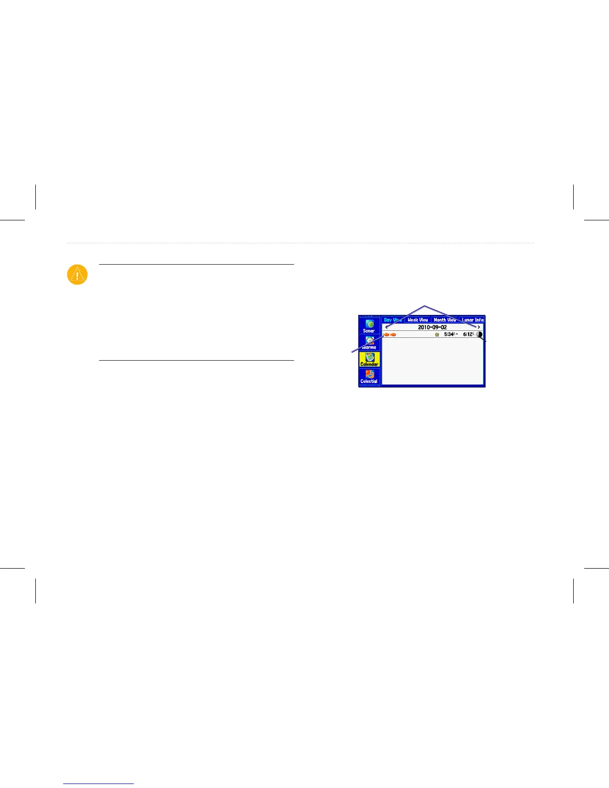
Calendar Tab in Day View
Highlight an arrow, and press Enter to change the date in view.
Sunrise and
sunset times
for the current
location and
date.
List of points
and routes
added to this
date.
Calendar Options
The options menu is available in all three calendar views. Press
Menu on any of the calendar views to open the options menu. To
view the Sun & Moon or Hunt & Fish sub tab, highlight View Sun
and Moon or View Hunt and Fish, and press Enter.
58 GPSMAP 580/585 Owner’s Manual
Main Menu
 Loading...