2d
Note -------------------------------------------------------------------------------------
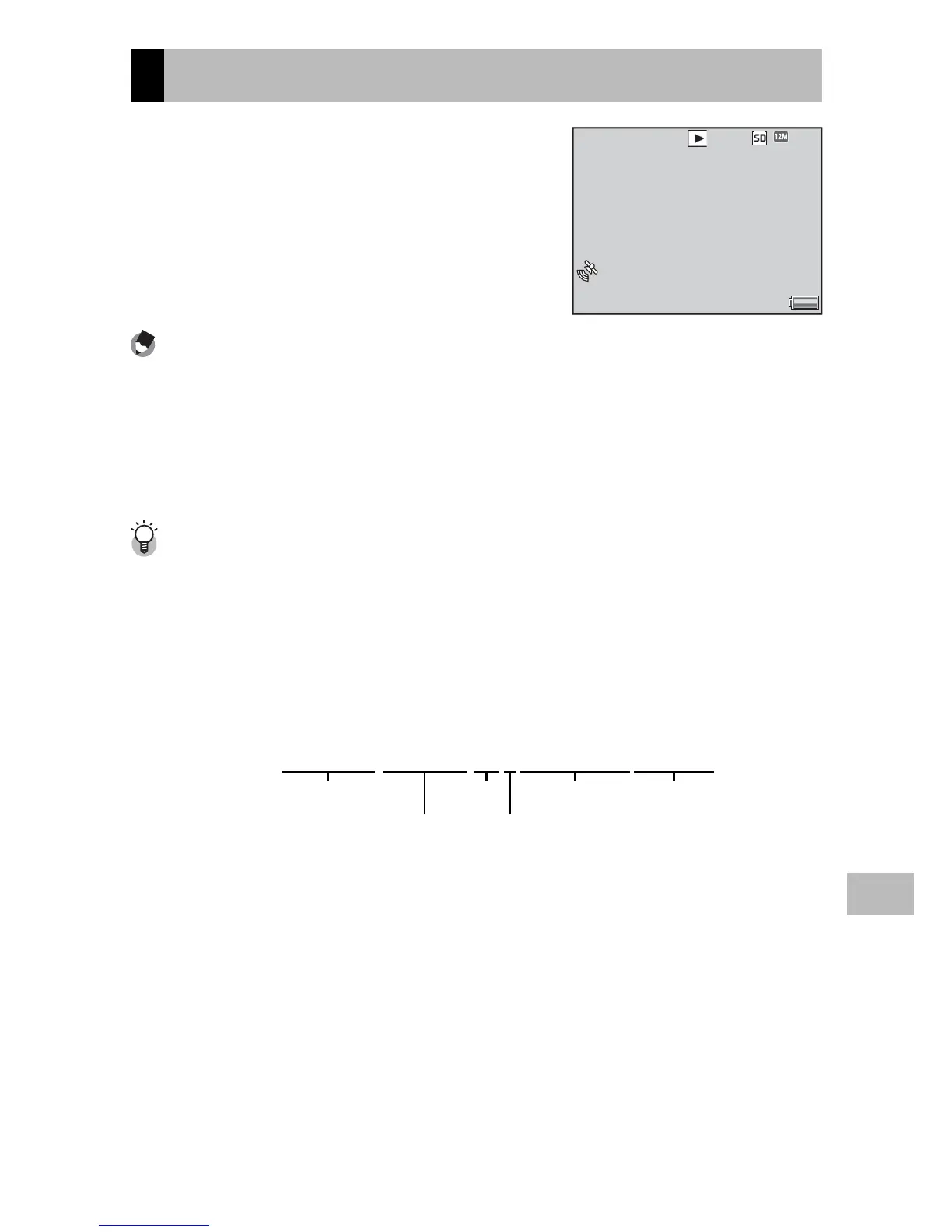
• Latitude and longitude are displayed in orange if current GPS data were
unavailable when the picture was taken (GP.136).
• GPS data are included with images transferred to a computer (GP.105, 112).
• GPS data are displayed in the format selected for [GPS Disp Mode] (GP.99) in
the expanded settings menu (GP.98).
The GPS Log ---------------------------------------------------------------------------
The camera logs GPS data to the memory card at the interval selected for [GPS
Track Time] (GP.100) in the expanded settings menu (GP.98; no log is
created if [Off] is selected). Log files can be viewed in a text editor or word
processing software. Entries consist of the longitude, latitude, altitude, track
number, and the date and time, separated by commas; for example, an entry
recording a position of 35° 40´ 1˝ N 139° 45´ 47˝ E at an altitude of 3.5 m at
07:58:14 on October 8, 2010 (UTC) would take the following form:
139.82972,35.66694,3.5,0,08-10-2010 07:58:14
Longitude
Latitude
Altitude Date Time
Track no.
A track number of “1” indicates data logged at the start of GPS recording, “0” data
logged during GPS recording.
 Loading...