NX501E/NZ501EEnglish77
Button Description
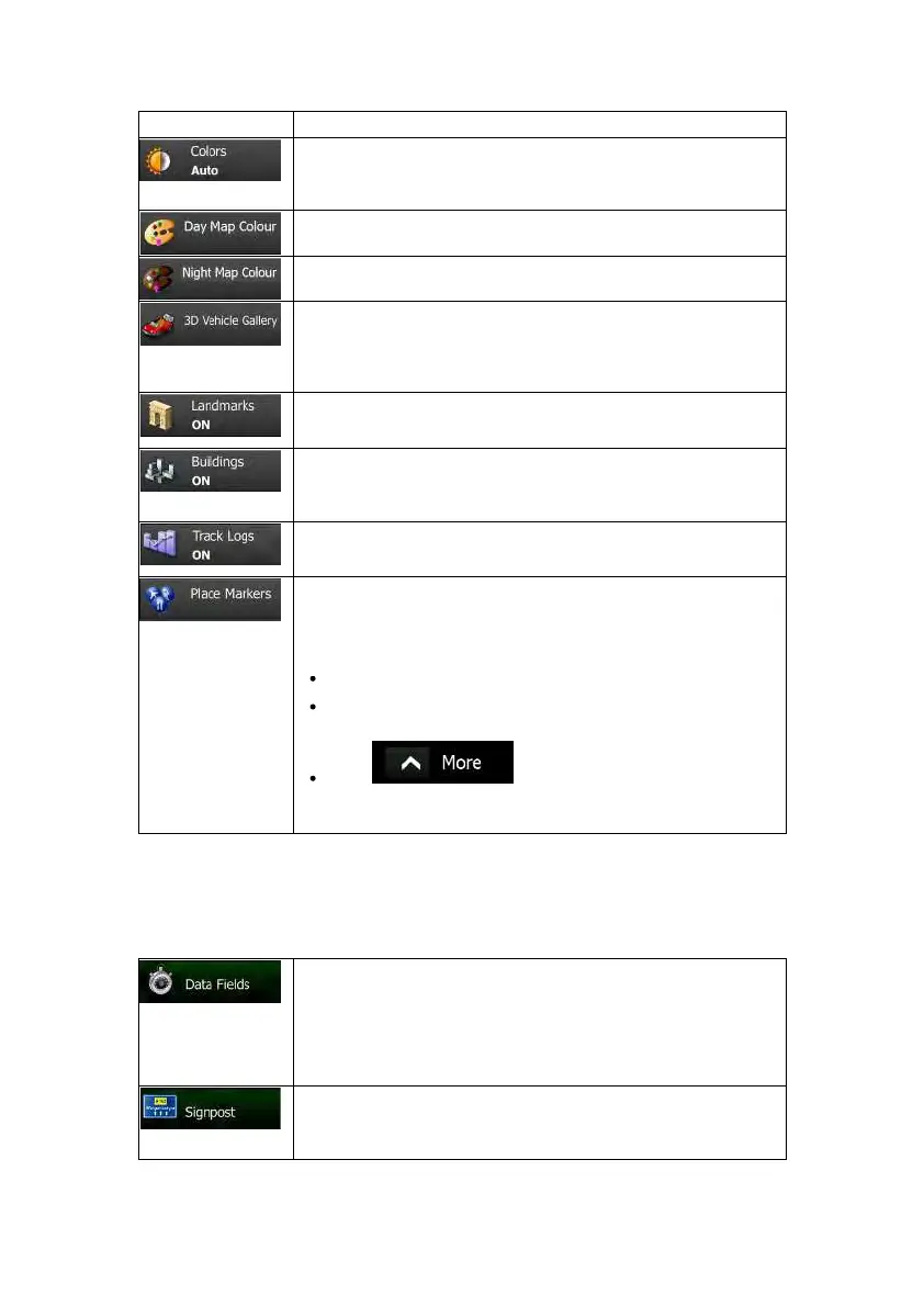
Switch between daytime and night colour modes or let the software
switch between the two modes automatically a few minutes before
sunriseandafewminutesaftersunset.
Selectthecolourschemeusedindaytimemode.
Selectthecolourschemeusedinnightmode.
Replacethe default position marker to one of the 3D vehicle models.
You can select separate icons for different vehicle types selected for
routeplanning.Separateiconscanbeusedforcar,pedestrianandthe
othervehicles.
Showorsuppress3Dlandmarks,3Dartisticorblockrepresentationsof
prominentorwell-knownobjects.
Showorsuppress3Dcitymodels,3Dartisticorblockrepresentationof
fullcitybuildingdatacontainingactualbuildingsizeandpositiononthe
map.
Turn on or off track log saving, that is, saving the sequence of the
locationsyourjourneysgothrough.
Selectw hich Places to show on the map whilenavigating. Too many
Placesmakethemapcrowdeds oitisagoodideatookeepasfewof
themonthemapaspossible.Forthis,youhavethepossibilitytosave
differentPlacevisibilitysets.Youhavethefollowingpossibilities:
TapthecheckboxtoshoworhidethePlacecategory.
TapthenameofthePlacecategorytoopenthelistofits
subcategories.
Tap tosavethecurrentPlacevisibilityset
ortoloadapreviouslysavedone.Hereyoucanalsorevertto
thedefaultvisibilitysettings.
4.3.7Visualguidancesettings
Settingsrelatedtoguidanceonthemapscreencanbeadjustedhere.
The data fields in the corner of the Map screen can be customised.
Tapthisbuttonandselectthev aluesyouwanttosee.Thevaluescan
bedifferentwhenyounavigatearoutefromwhenyouarejustcruising
withouta given destination. Youcanselect general trip datalike your
current speed or the altitude, or route data related to your final
destinationorthenextwaypointonyourroute.
Wheneveradequateinformationisavailable,laneinformationsimilarto
the real ones onroad signs abovethe road is displayed at the top of
themap.Youcanturnthisfeatureonoroff.

 Loading...