Manual measurement with GPS
Manual measurement with GPS is based on measurement of individual
points at a locality with positions given by GPS coordinates from a GPS receiver.
Operator goes to a certain point, starts the measurement, checks the result and puts
it into the memory. The same procedure is repeated at the next point. The accuracy
of the positioning is determined by GPS receiver.
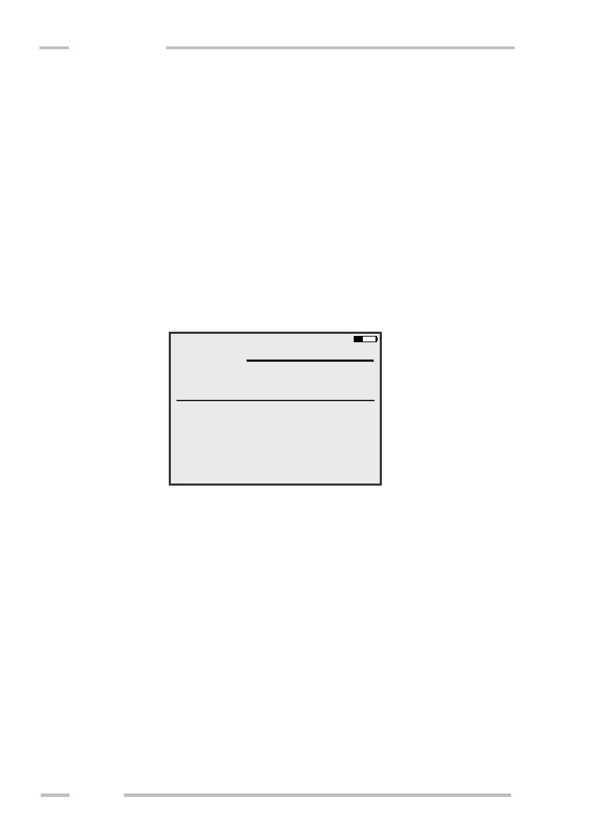
Start of measurement
Choose “GPS Manual Measurement“ from the main menu. Following
window is shown:
Enter the file name (obligatory), locality name and note (optional). Choose the
calibration (Depth/Cal). Set the measurement time (Meas. time) and measurement
error limit (Meas. error). If you measure using CMD-Explorer / MiniExplorer, you
are also asked to set the “Main view”, which determines the receiver shown in
screens “1” and “2” during measurement. If you measure using CMD-Duo, you
will be also able to change coil separation, if needed.
 Loading...