EasyManuals Logo
Home>CSI Wireless>Receiver>DGPS MAX

CSI Wireless DGPS MAX User Manual

Default Icon
145 pages
To Next Page IconTo Next Page
To Previous Page IconTo Previous Page
Page #136 background imageLoading...
Page #136 background image
Vector Sensor Reference Manual 136
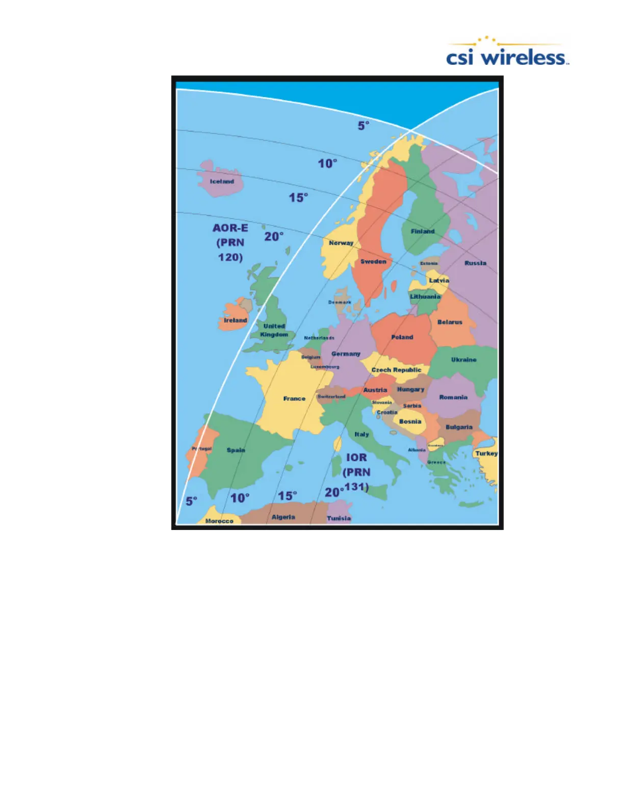
Figure C-2 EGNOS Coverage
SBAS Ionospheric Map Extrapolation
To improve upon the ionospheric map provided by SBAS, the Vector Sensor extrapolates a larger
ionospheric map from the broadcast coverage map, extending its effective coverage. This allows
the Vector Sensor to be used successfully in regions that competitive products may not.
For WAAS, this is especially important in Canada for regions north of approximately 54° N
latitude and east of 110° W longitude. Extrapolation also provides enhanced coverage throughout
much of the Gulf of Mexico.

Table of Contents

Other manuals for CSI Wireless DGPS MAX

Questions and Answers:

Question and Answer IconNeed help?

Do you have a question about the CSI Wireless DGPS MAX and is the answer not in the manual?

CSI Wireless DGPS MAX Specifications

General IconGeneral
BrandCSI Wireless
ModelDGPS MAX
CategoryReceiver
LanguageEnglish

Related product manuals