EasyManuals Logo
Home>CSI Wireless>Receiver>DGPS MAX

CSI Wireless DGPS MAX User Manual

Default Icon
145 pages
To Next Page IconTo Next Page
To Previous Page IconTo Previous Page
Page #138 background imageLoading...
Page #138 background image
Vector Sensor Reference Manual 138
Figure C-4 Extrapolated WAAS Ionospheric Correction Map
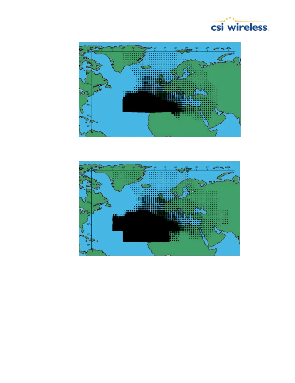
Figure C-5 Broadcast EGNOS Ionospheric Correction Map
Figure C-6 Extrapolated EGNOS Ionospheric Correction Map
Radiobeacon DGPS
Many Marine authorities, such as Coast Guards, have installed networks of radiobeacons that
broadcast DGPS corrections to users of this system. With the increasing utility of these networks
for terrestrial applications, there is an increasing trend towards densification of these networks
inland.

Table of Contents

Other manuals for CSI Wireless DGPS MAX

Questions and Answers:

Question and Answer IconNeed help?

Do you have a question about the CSI Wireless DGPS MAX and is the answer not in the manual?

CSI Wireless DGPS MAX Specifications

General IconGeneral
BrandCSI Wireless
ModelDGPS MAX
CategoryReceiver
LanguageEnglish

Related product manuals