7. CUSTOMIZING YOUR UNIT
7-13
7.4 Chart Setup
This paragraph shows you how to setup digital charts, from offsetting chart position to
turning chart attributes on or off.
7.4.1 Chart offset
In some instances position may be off by a few seconds. For example, the position of the
ship is shown to be at sea while it is in fact moored at a pier. You can compensate for this
error by offsetting chart position as shown in the procedure below.
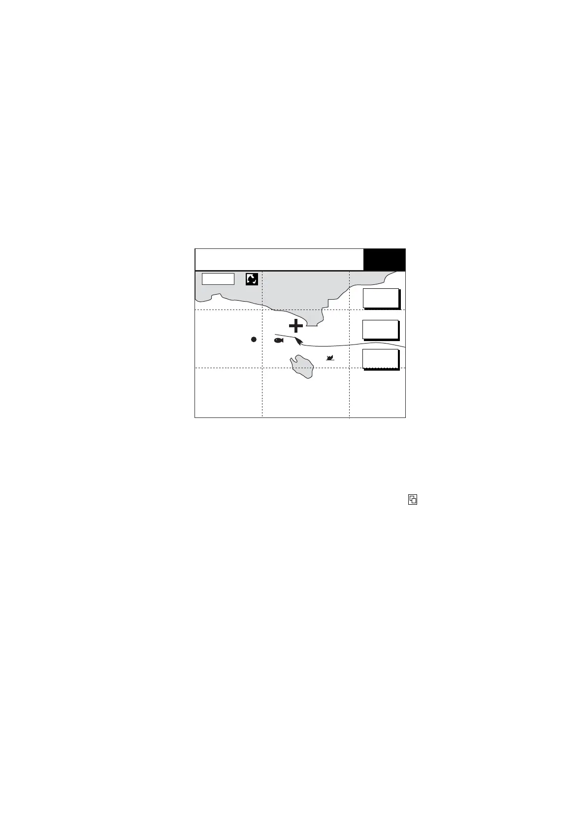
1. Show the plotter display, then press the MENU key followed by the CHART SETUP and
CHART OFFSET soft keys.
+
SET
OFFSET
RESET
OFFSET
RETURN
BRIDGE
FISH
WP-002
34° 22. 3456'N 353.9°M TRIP NU
080° 22. 3456'E
0.75nm 9.9 nm
CHART
OFFSET
+
16.0nm
Plotter display, chart offset selected
2. Use the Trackball to place the cursor at the correct latitude and longitude position of
own ship.
3. Press the SET OFFSET soft key.
4. Press the MENU key to close the menu. The “chart offset icon” (
) appears at the top of
the display.
To cancel chart offset, press the RESET OFFSET soft key at step 3 in the above
procedure.
 Loading...