186
1. BASIC OPERATION
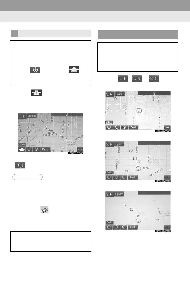
1 Select on the map screen.
2 Check that the footprint map is dis-
played.
To return to the normal map display, select
.
1 Select , or .
North-up screen
Heading-up screen
3D screen
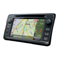
FOOTPRINT MAP
For areas covered by the footprint map
(some major cities), a footprint map on
a scale of 75 ft. (25 m) can be selected.
When the map is scaled down to 150 ft.
(50 m), changes to and
can be selected to display the footprint
map.
● If the map or the current position is
moved to the area which is not covered
by the footprint map, the screen scale
automatically changes to 150 ft. (50 m).
● On the footprint map, a one way street is
displayed by .
● Scrolling on the footprint map is not
available while driving.
Building footprints in the database
were created and provided by
NAVTEQ.
ORIENTATION OF THE MAP
The orientation of the map can be
changed between 2D north-up, 2D
heading-up and 3D heading-up by se-
lecting the orientation symbol dis-
played at the top left of the screen.

 Loading...